
GNSS Reflectometry (GNSS-R)
Summary:
Exploring reflected GNSS signals for remote sensing and the characterization of land, water, and other Earth surfaces.
Detailed Description:
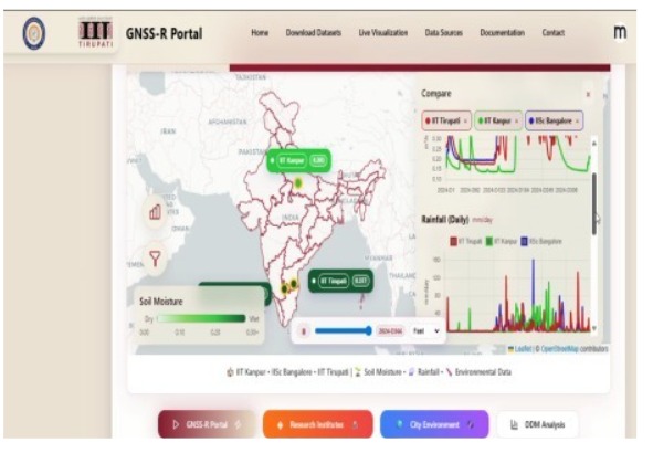
The GNSS Reflectometry (GNSS-R) project focuses on investigating reflected signals from Global Navigation Satellite Systems (GNSS) to explore their potential for remote sensing and environmental monitoring. Unlike conventional GNSS applications that primarily use direct satellite signals for positioning and navigation, GNSS-R utilizes signals reflected from the Earth’s surface to extract information about surface properties.
The project aims to study reflected GNSS signal characteristics and their relationship with surface conditions, supporting potential applications such as soil moisture estimation, water-level monitoring, flood detection, vegetation assessment, and ocean-surface observation. Research activities may include signal acquisition, reflection analysis, signal processing, and evaluation of GNSS-R measurement techniques using suitable receiver and antenna configurations.
The project is currently ongoing, with research and experimental activities focused on exploring GNSS-R techniques and their potential applications in remote sensing.
Status: Ongoing
Technology / Research Area: GNSS, NavIC, GNSS Reflectometry (GNSS-R), RF signal processing, remote sensing, environmental monitoring, and surface characterization.