GIS-Based Assessment and Enhancement of Anganwadi Services
Summary: Utilized GIS mapping and spatial analysis to assess Anganwadi…

Mapping the World, Shaping the Future
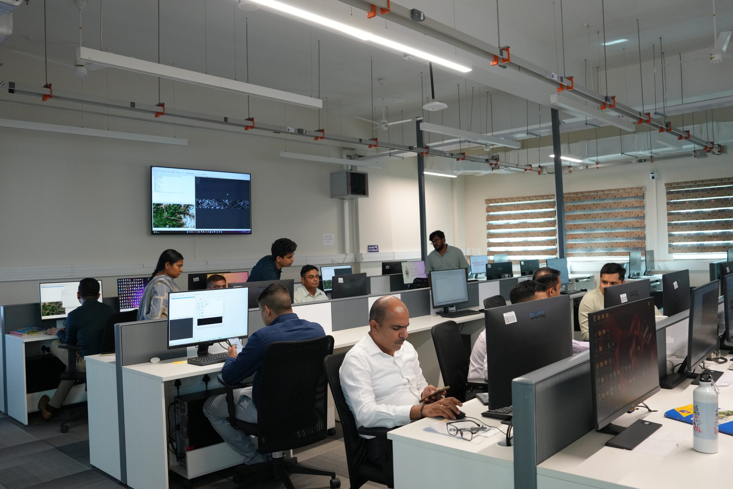
The Geographic Information Systems (GIS) Lab at IITTNiF leverages geospatial technologies, remote sensing, spatial data analysis, and 3D mapping to support research, innovation, and real-world applications.
Integrating LiDAR surveys, drone-based mapping, satellite imagery, and other geospatial data sources, the lab specialises in geospatial data processing, GIS mapping, LiDAR point cloud classification, digital elevation modelling, 3D reconstruction, Scan-to-BIM workflows, digital twin development, infrastructure mapping, terrain analysis, and spatial visualisation.
Through advanced software, surveying technologies, and data-driven methodologies, the GIS Lab delivers accurate, reliable, and scalable geospatial solutions for smart infrastructure development, environmental monitoring, urban planning, and digital transformation, bridging the gap between research and practical implementation.

Summary: Utilized GIS mapping and spatial analysis to assess Anganwadi…

Integrates GIS, 3D digital twin technology, and predictive analytics to…
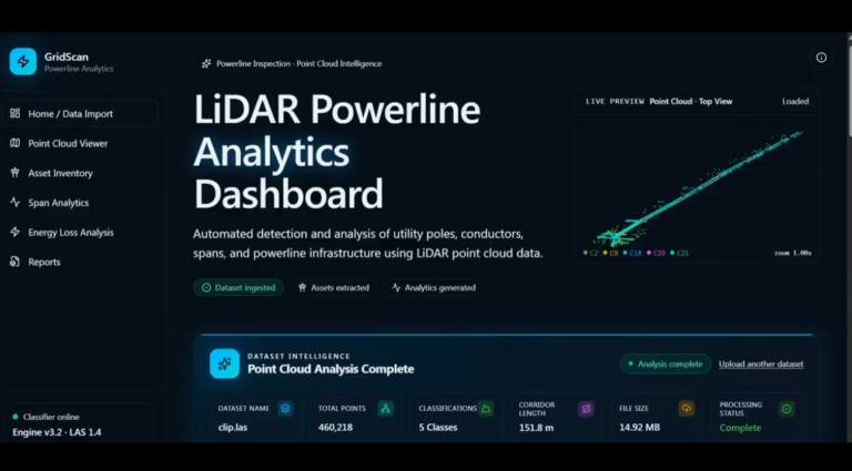
Summary: Analyzed powerline geometry and conductor sag using LiDAR data…
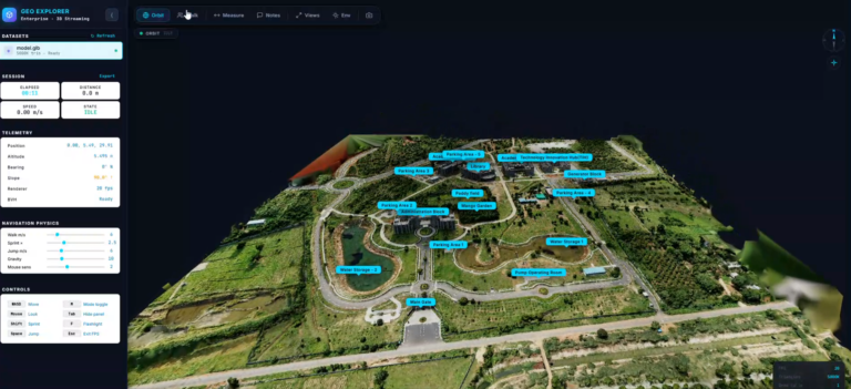
Summary: Developed a geospatial visualization platform integrating 3D mesh models…

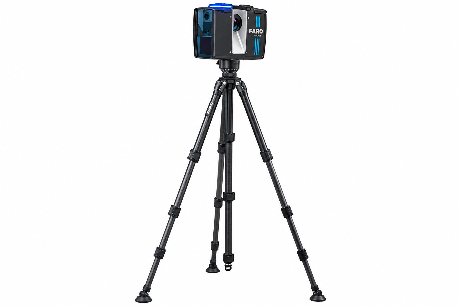
The FARO Terrestrial Laser Scanner is an advanced 3D surveying solution that captures highly accurate measurements of buildings, infrastructure, and surrounding environments. It rapidly collects millions of data points to create detailed 3D point clouds for engineering, construction, and GIS applications.
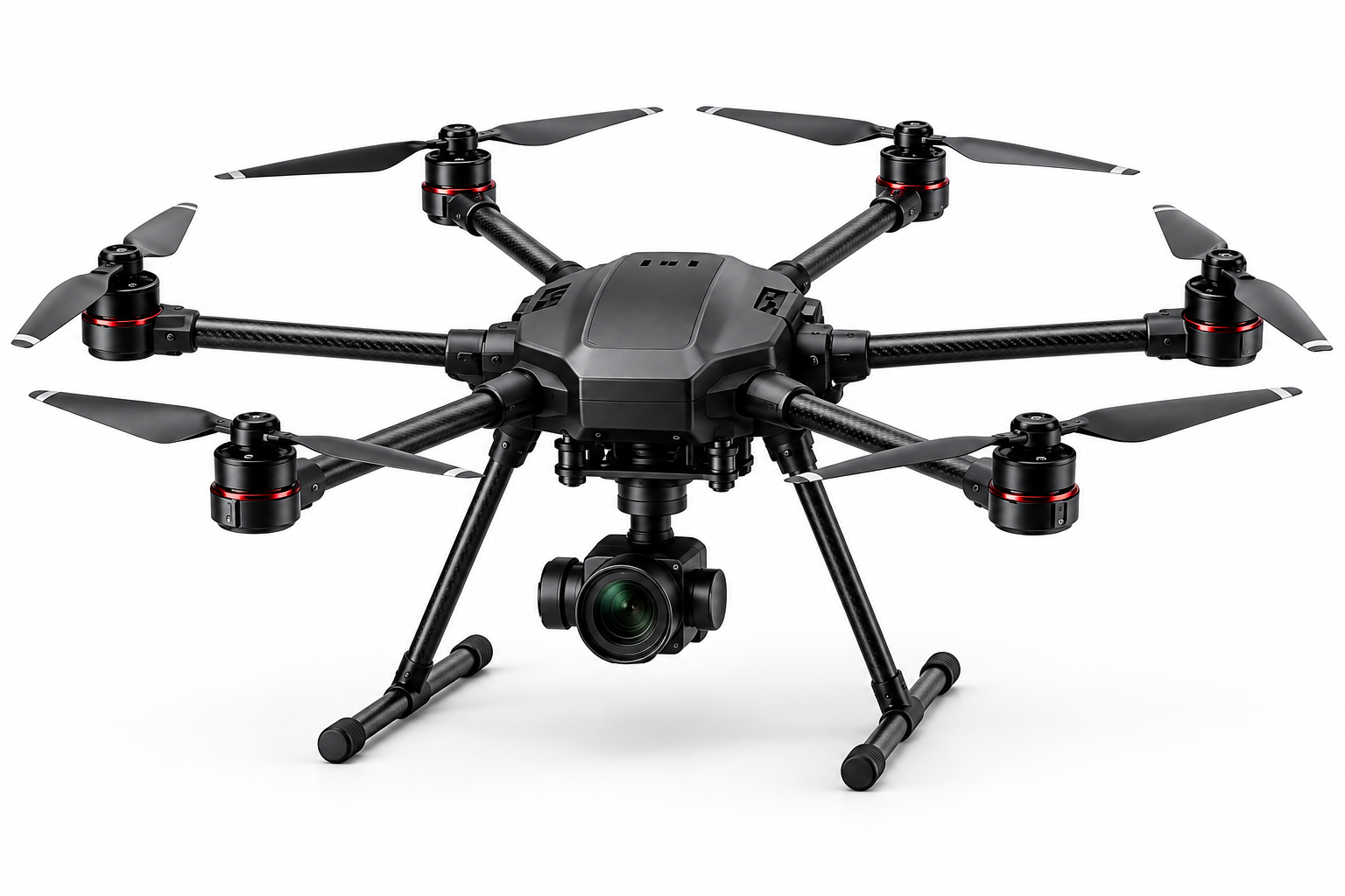
The Drone LiDAR Survey System combines unmanned aerial technology with advanced LiDAR sensors to capture high-precision 3D data over large areas. It provides fast, reliable, and accurate geospatial information for surveying, mapping, and infrastructure projects.
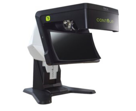
3D Contour PCI is a geospatial data processing solution used to generate accurate contour maps and three-dimensional terrain models from LiDAR, aerial imagery, and survey data. It supports efficient visualization and analysis of elevation information for planning, engineering, and mapping applications.
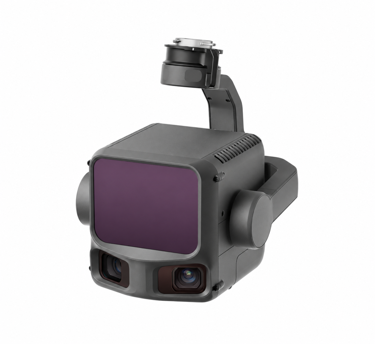
The DJI Zenmuse L3 is an advanced airborne LiDAR payload designed for high-accuracy 3D mapping and surveying. It combines LiDAR technology with an integrated camera to capture detailed point cloud data and high-resolution imagery, enabling efficient data collection for complex mapping projects.

ArcGIS Pro is a professional Geographic Information System (GIS) application that enables organizations to visualize, analyze, manage, and share spatial data. Designed for mapping, 2D and 3D visualization, geospatial analysis, and data management, ArcGIS Pro helps businesses and government agencies make informed, location-based decisions.

Bentley MicroStation is a leading Computer-Aided Design (CAD) platform used by architects, engineers, and infrastructure professionals to create, model, visualize, and manage complex engineering projects. It provides powerful 2D drafting, 3D modeling, and documentation tools that support the entire design lifecycle across multiple engineering disciplines.

FARO SCENE is a powerful point cloud processing software designed for managing, processing, and analyzing data captured by FARO laser scanners. It enables surveyors, engineers, architects, and construction professionals to efficiently register, visualize, and prepare high-accuracy 3D scan data for design, inspection, documentation, and digital twin applications.

TerraSolid is an industry-leading software suite for processing, analyzing, and managing LiDAR point cloud data. Widely used by surveying, mapping, engineering, and geospatial professionals, TerraSolid provides powerful tools for point cloud classification, terrain modeling, feature extraction, and high-precision geospatial data production.

Autodesk Revit is a leading Building Information Modeling (BIM) software that enables architects, structural engineers, MEP engineers, designers, and construction professionals to plan, design, construct, and manage buildings with accuracy and efficiency. With a model-based approach, Revit enhances collaboration, improves project coordination, and streamlines the entire building lifecycle.

PIX4Dmatic is a next-generation photogrammetry software designed to process thousands of drone images quickly and accurately. Built for large-scale mapping projects, it generates high-quality orthomosaics, point clouds, digital surface models, and 3D meshes, making it an ideal solution for surveying, construction, mining, and infrastructure applications.



Whether you are a researcher, startup, industry partner, government organisation, academic institution, or student, IITTNiF provides opportunities to innovate, collaborate, develop technologies, and create national impact.