
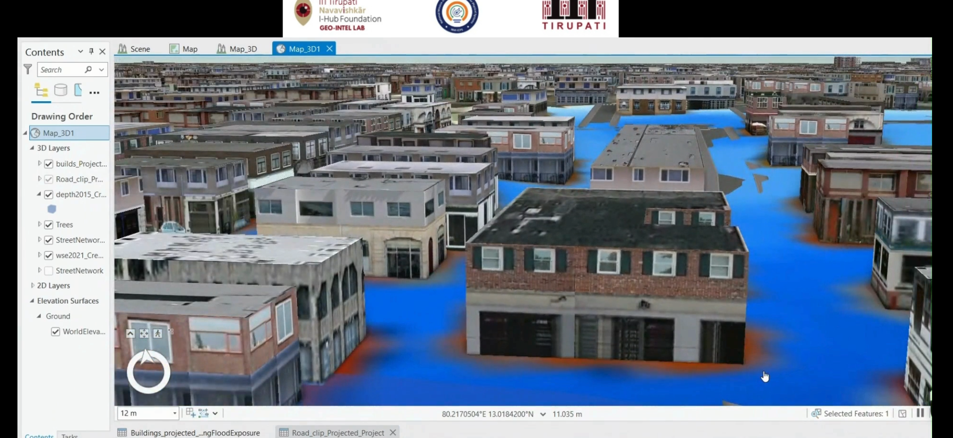
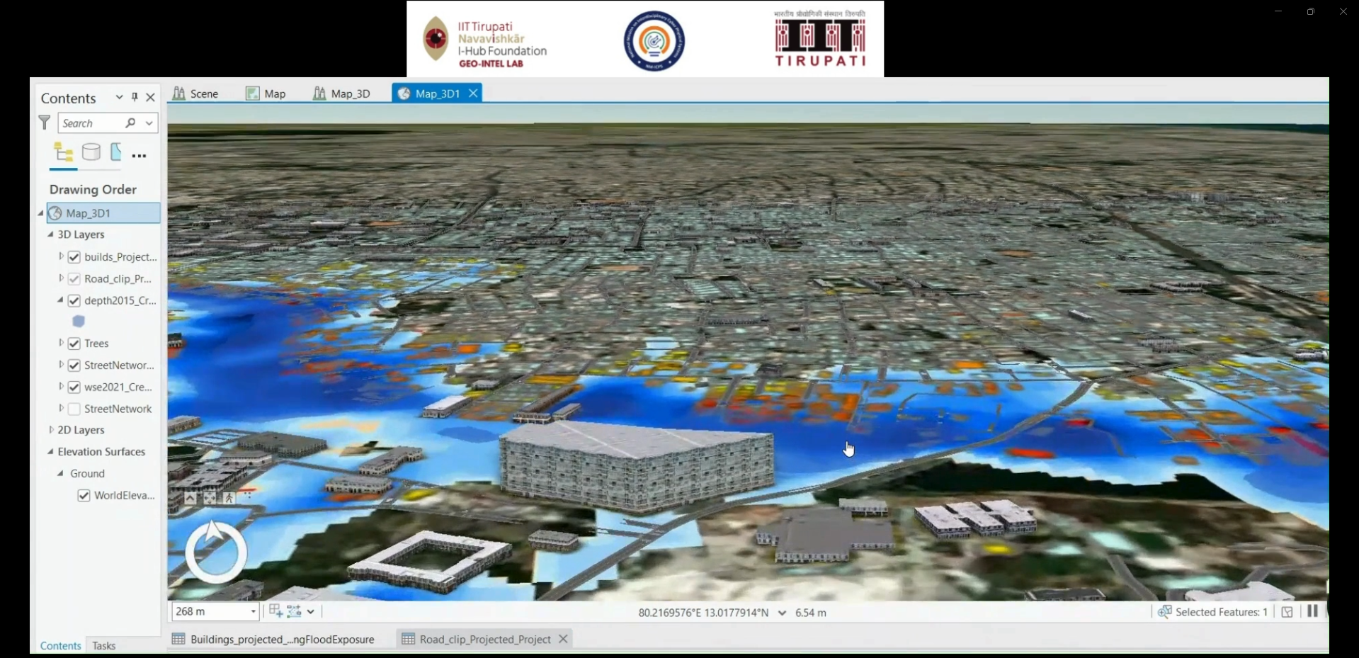
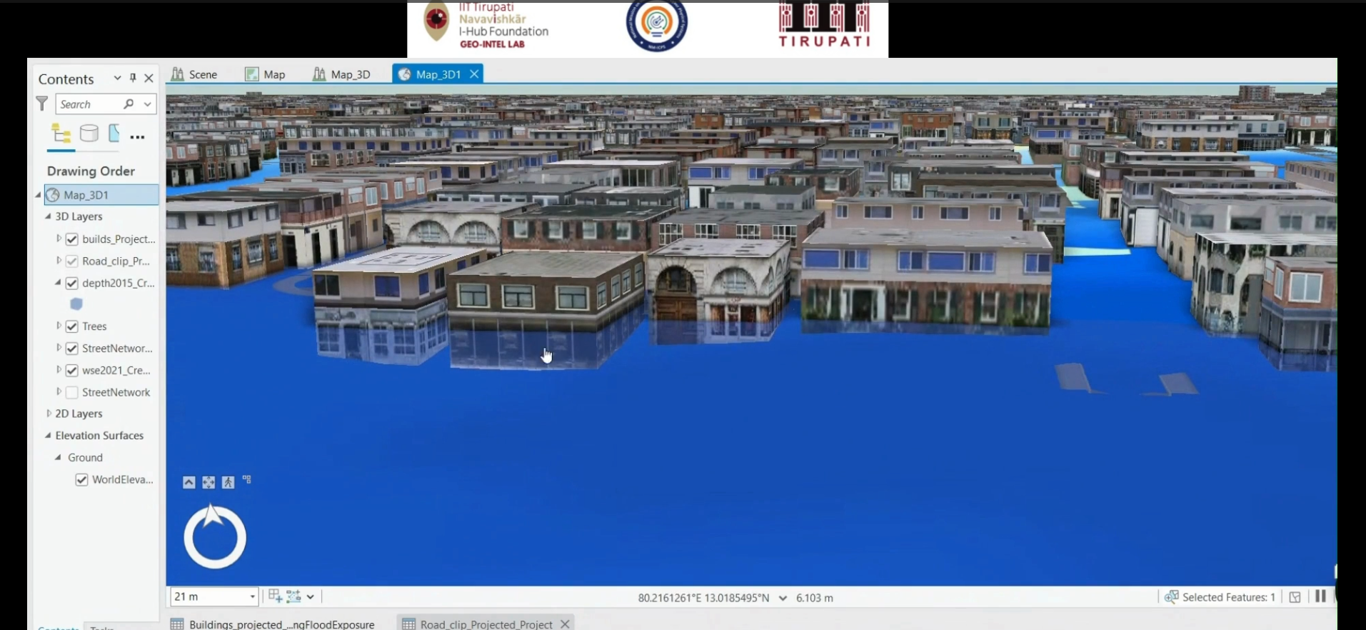
Integrates GIS, 3D digital twin technology, and predictive analytics to visualize infrastructure assets and support data-driven planning and decision-making.
Detailed Description: The project focuses on developing a digital representation of real-world infrastructure by integrating geospatial data, 3D models, and spatial information. It aims to support infrastructure visualization, condition monitoring, scenario analysis, and predictive planning through digital twin technologies.
Status: Project development and implementation status to be confirmed based on the current project progress.
Research Area: Digital Twin Technology, Predictive Analytics, Geospatial Intelligence, Smart Infrastructure, 3D Visualization.
Technology: GIS, 3D Modeling, Digital Twin, Spatial Analysis, Predictive Analytics, Web GIS.
Let's Build the Future With Us
Whether you are a researcher, startup, industry partner, government organisation, academic institution, or student, IITTNiF provides opportunities to innovate, collaborate, develop technologies, and create national impact.