
Summary:
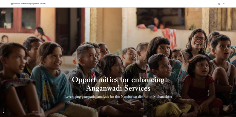
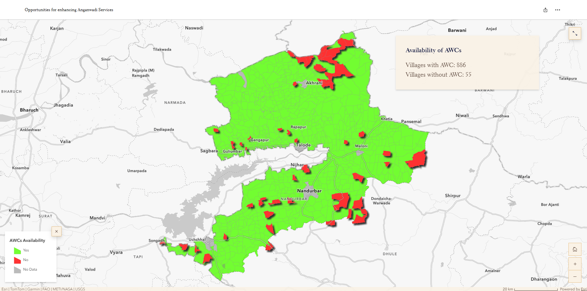
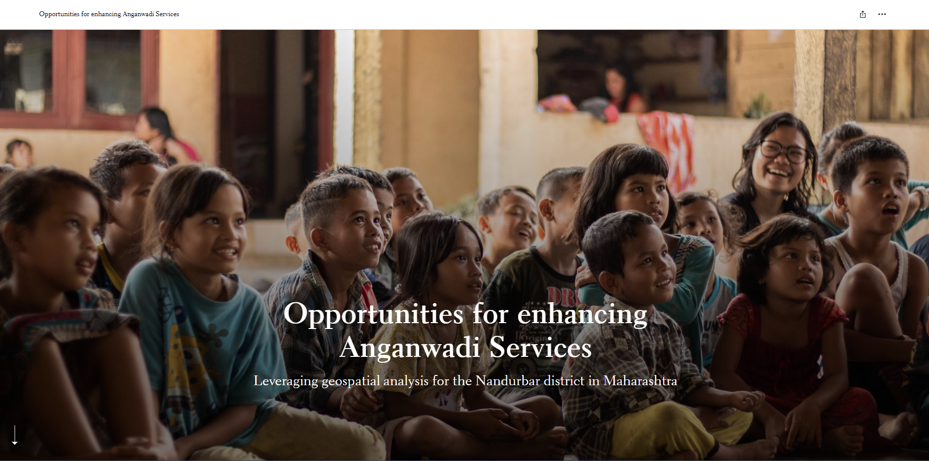
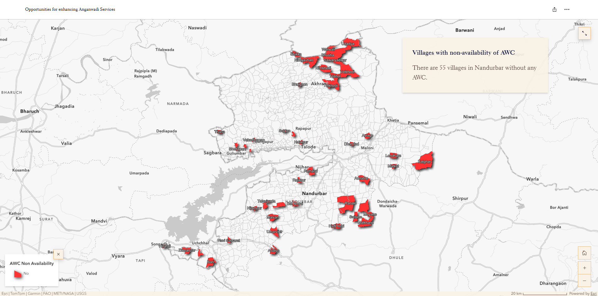
Utilized GIS mapping and spatial analysis to assess Anganwadi service accessibility and identify opportunities for improving service delivery.
Detailed Description:
This project uses Geographic Information System (GIS) technology and spatial analysis to understand the distribution, accessibility, and coverage of Anganwadi centres. The project supports the identification of service gaps, assessment of spatial patterns, and visualization of location-based information to help improve the planning and delivery of Anganwadi services. ArcGIS StoryMaps is used to communicate the findings through interactive maps and a narrative-based visual presentation.
Status:
StoryMap published; project information and spatial findings presented through an interactive web-based platform.
Technology:
ArcGIS StoryMaps, ArcGIS, GIS Mapping, Spatial Analysis, Web GIS.
Research Area:
Public Service Accessibility, Spatial Planning, Social Infrastructure Mapping, GIS-Based Decision Support.
LINK : Anganwadi story map
Let's Build the Future With Us
Whether you are a researcher, startup, industry partner, government organisation, academic institution, or student, IITTNiF provides opportunities to innovate, collaborate, develop technologies, and create national impact.