
GNSS Signal Strength Mapping
Summary: Mapping and analyzing the spatial variation of GNSS signal strength to characterize signal availability and RF reception conditions within a defined measurement area.
Detailed Description:
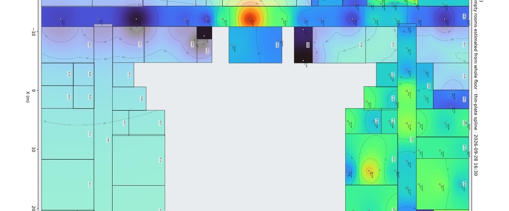
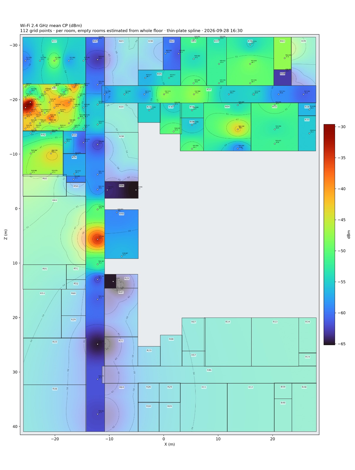
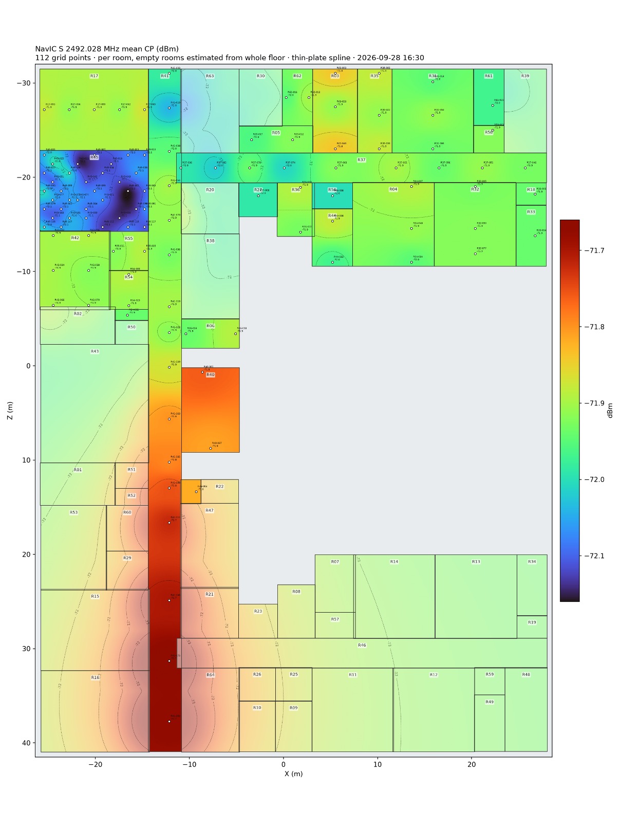
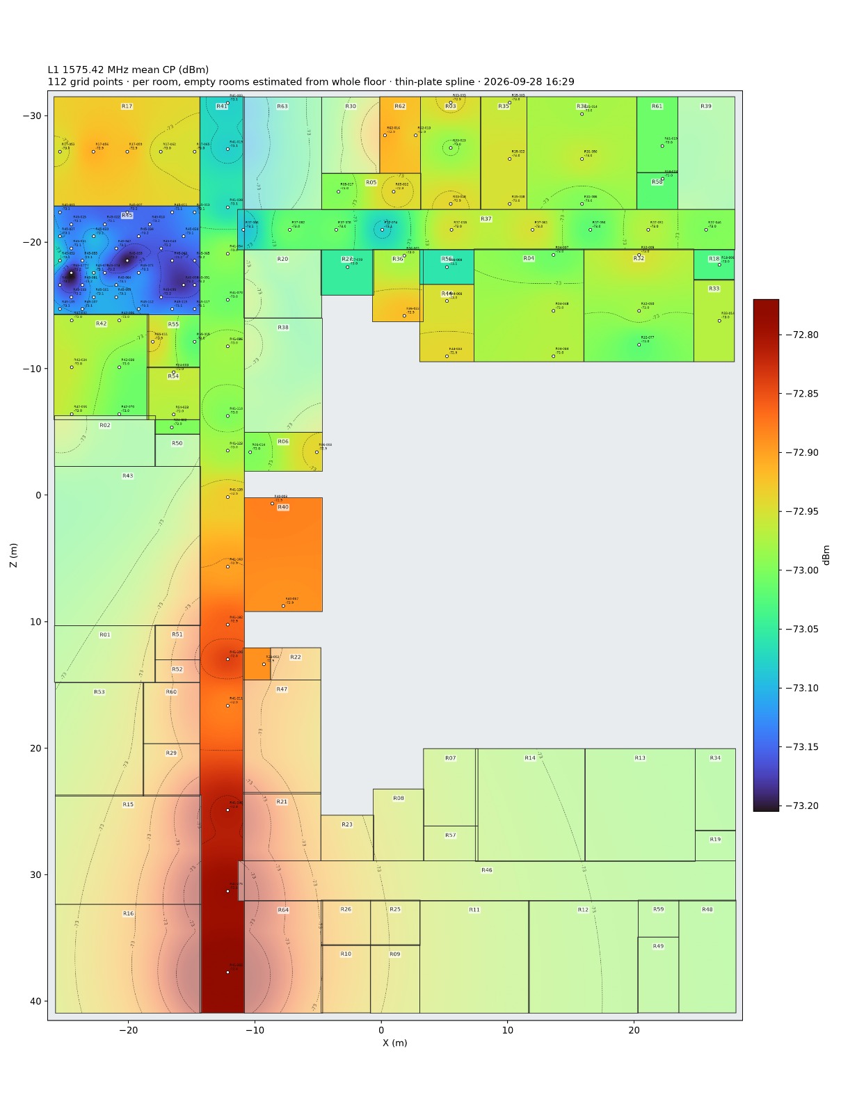
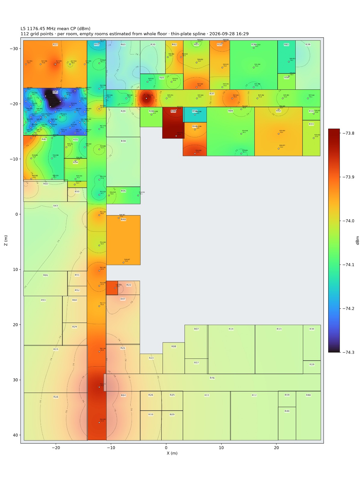
The GNSS Signal Strength Mapping project focuses on evaluating the spatial distribution of satellite navigation signal levels within a defined measurement area. The study involves measuring and analyzing signal strength at multiple locations using RF test and measurement equipment, including a spectrum analyzer, to characterize variations in signal reception.
The project investigates signals in key GNSS frequency bands, including GPS L1 and L5, along with the NavIC S-band, where applicable. Measurements are collected across a predefined spatial grid and analyzed to identify variations in received signal levels, local interference, and potential signal attenuation. The results are used to generate spatial signal strength maps, enabling comparative assessment of RF conditions and supporting GNSS test bed characterization, antenna evaluation, and satellite navigation research.
The project is currently ongoing, with measurement collection, data analysis, and spatial mapping activities in progress.
Status: Ongoing
Technology / Research Area: GNSS, NavIC, RF measurements, spectrum analysis, signal strength characterization, spatial RF mapping, antenna evaluation, and satellite navigation.