
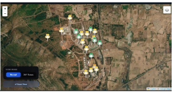
Development and Establishment of a GNSS Continuously Operating Reference Station (CORS) Network
Summary:
Establishment of a GNSS reference station network to support high-precision positioning, navigation research, and geospatial applications.
Detailed Description:
The CORS Network project focuses on developing GNSS infrastructure to support continuous satellite signal tracking, precise positioning, and geospatial research. Continuously Operating Reference Stations are equipped with GNSS receivers and antennas that collect satellite observations over extended periods, providing reference data for positioning and navigation applications.
The project aims to support high-accuracy positioning techniques, including Real-Time Kinematic (RTK) positioning and Post-Processed Kinematic (PPK) analysis, subject to the availability of suitable reference data, correction services, and communication infrastructure. The network can also support GNSS performance evaluation, geodetic studies, surveying, and research into positioning accuracy and reliability.
The project is currently ongoing, with activities focused on infrastructure development, system configuration, and validation of station operations and data availability.
Status: Ongoing
Technology / Research Area: GNSS, NavIC, CORS infrastructure, geodesy, precise positioning, RTK/PPK, satellite navigation, and geospatial applications.