
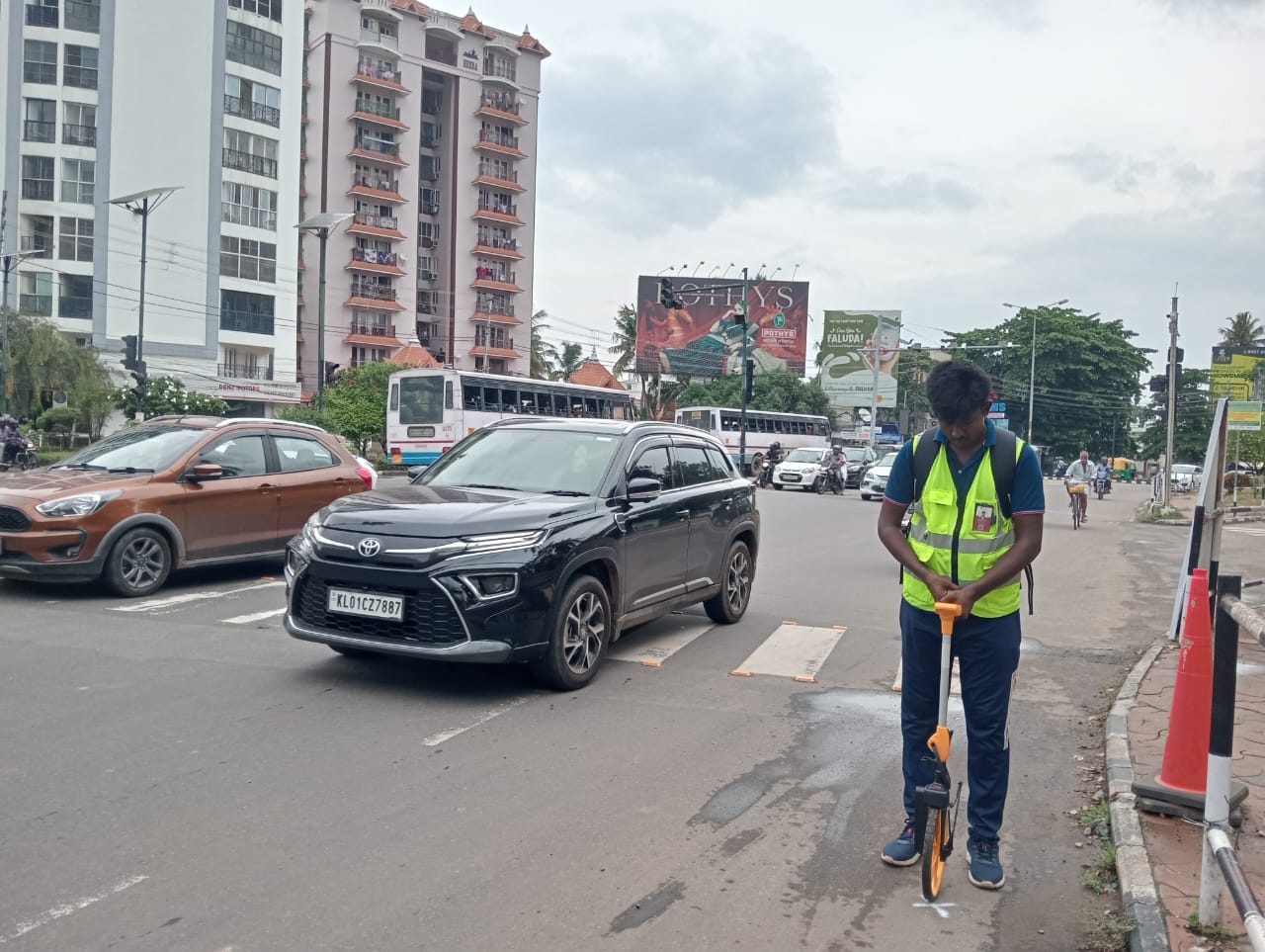
Description:
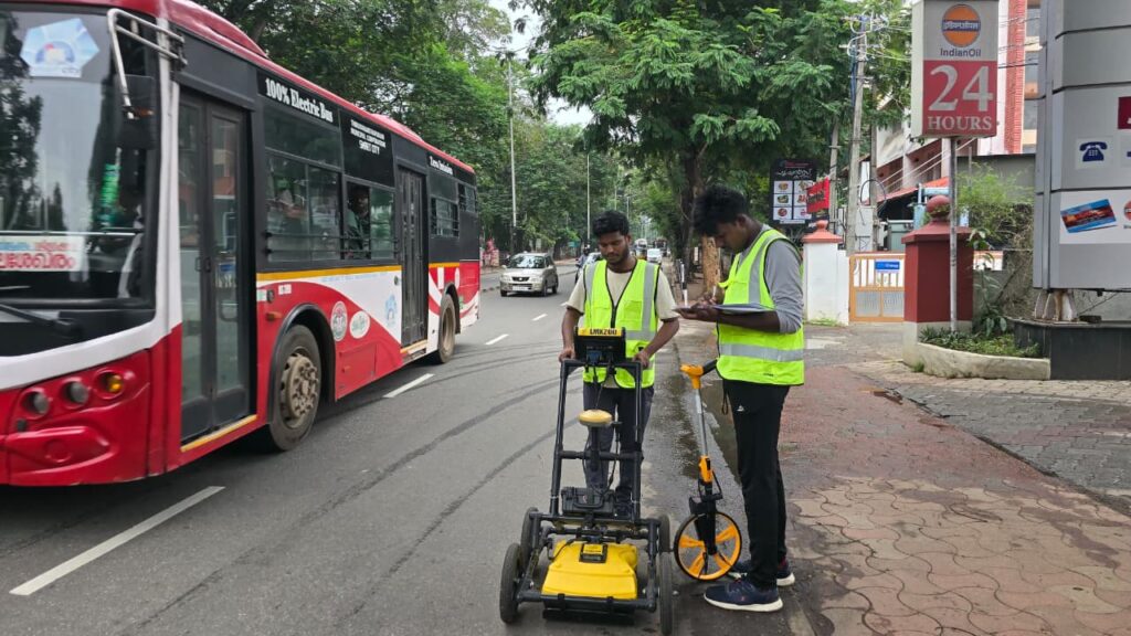
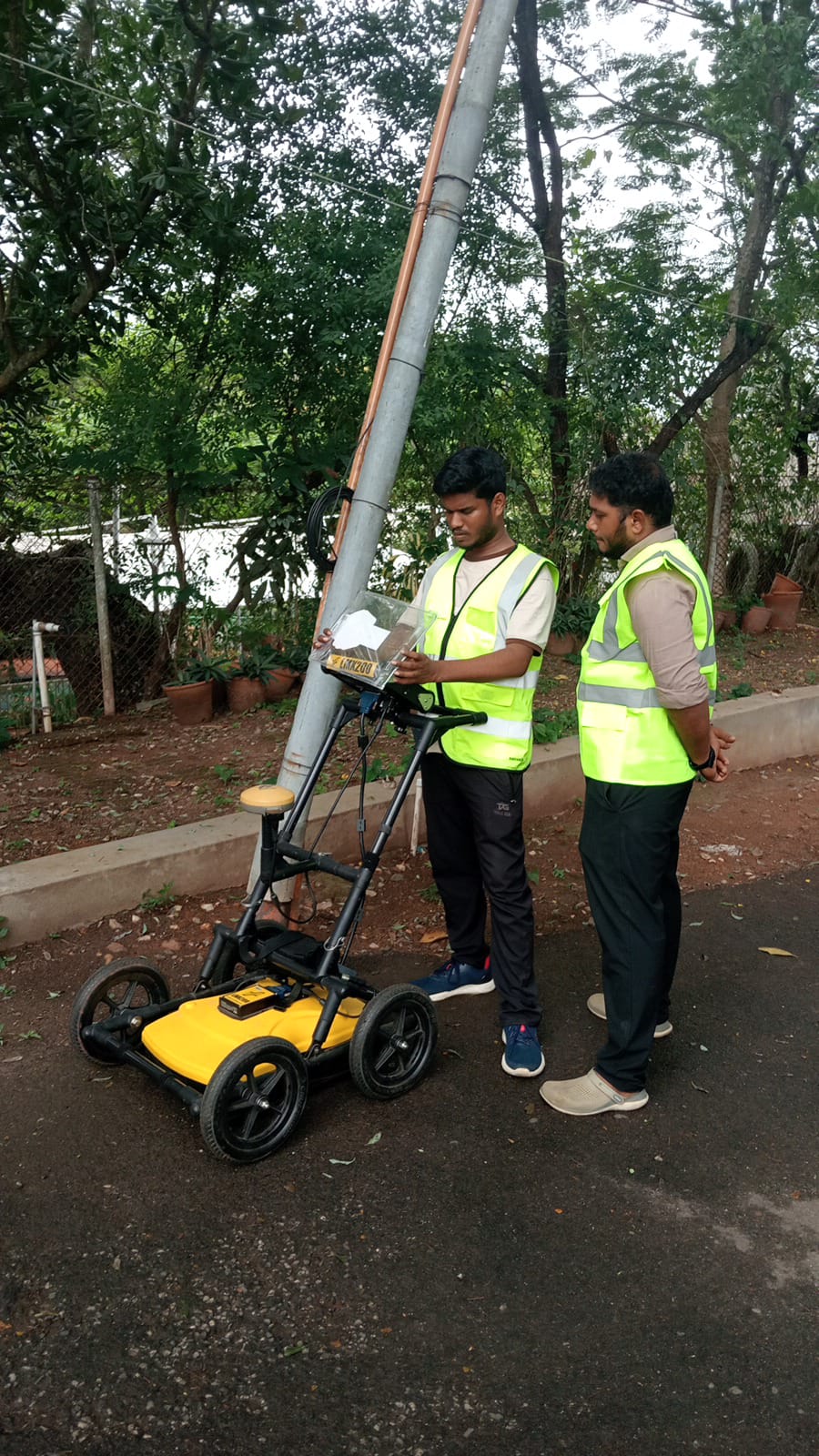
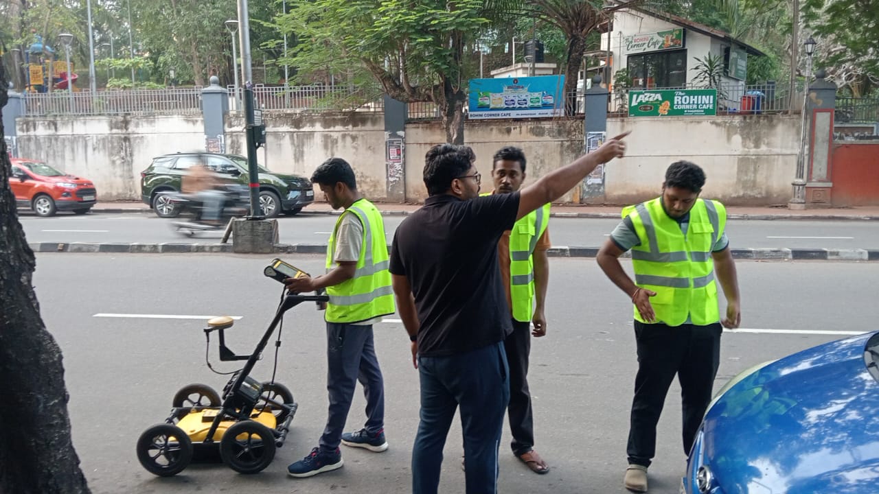
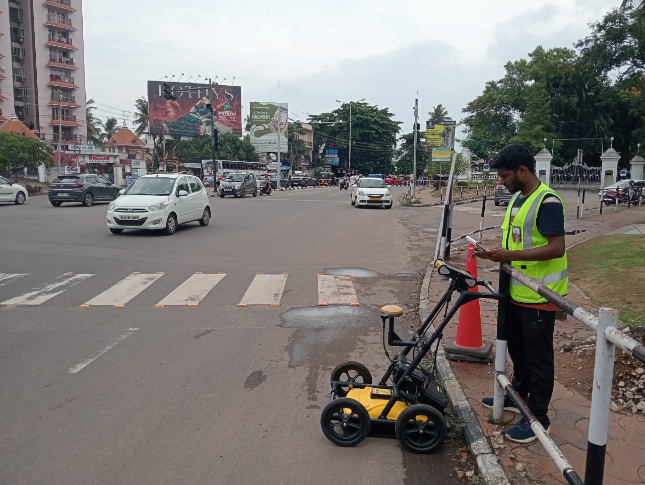
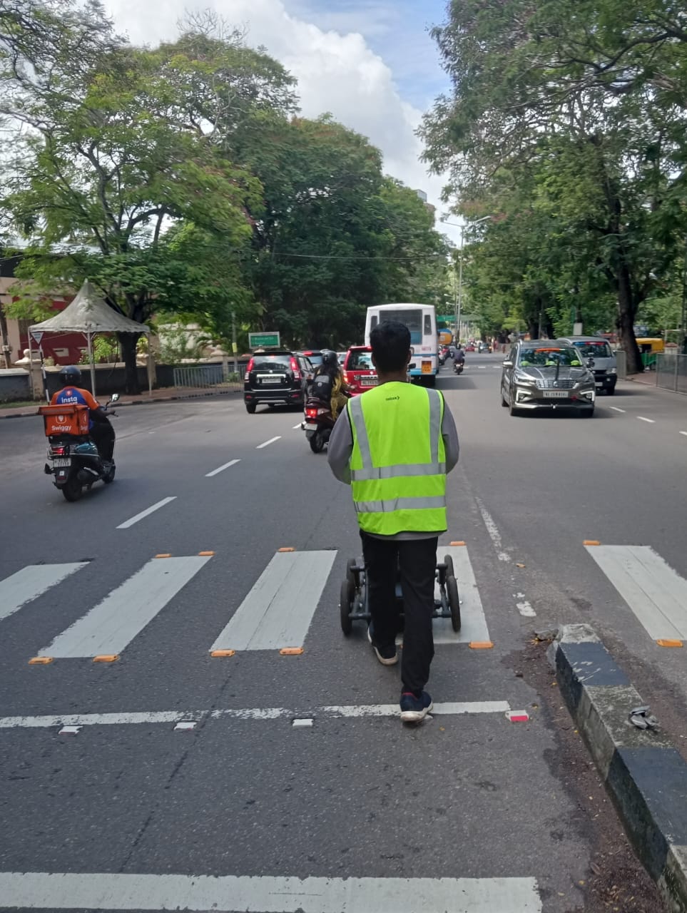
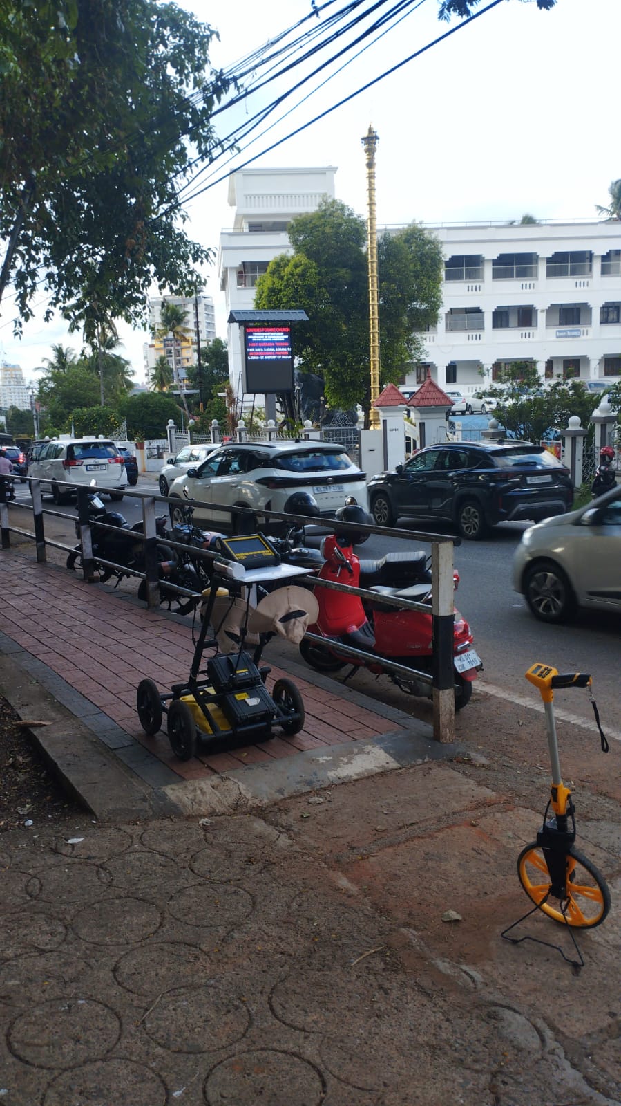
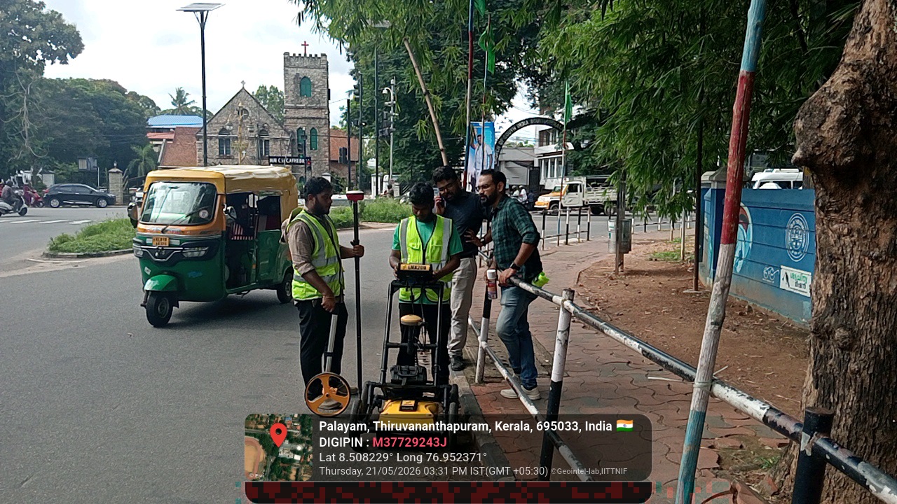
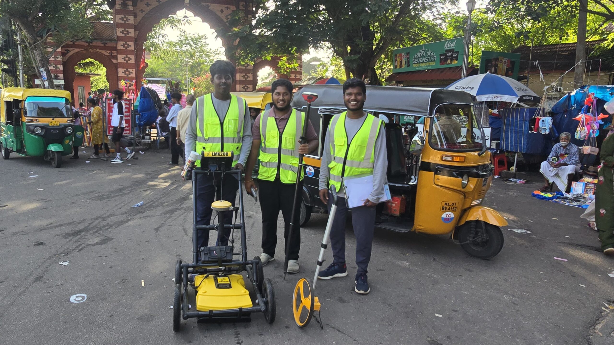
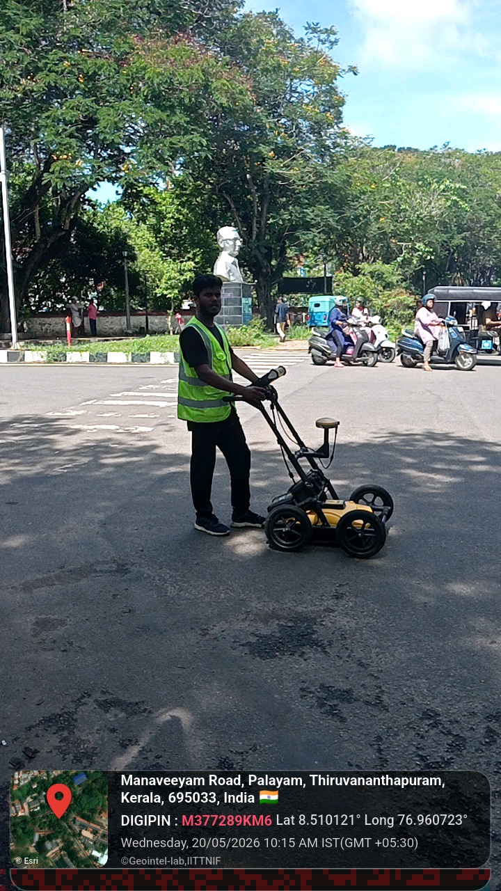
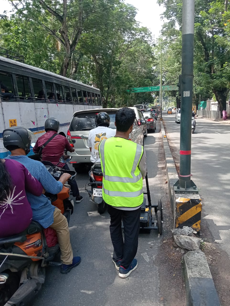
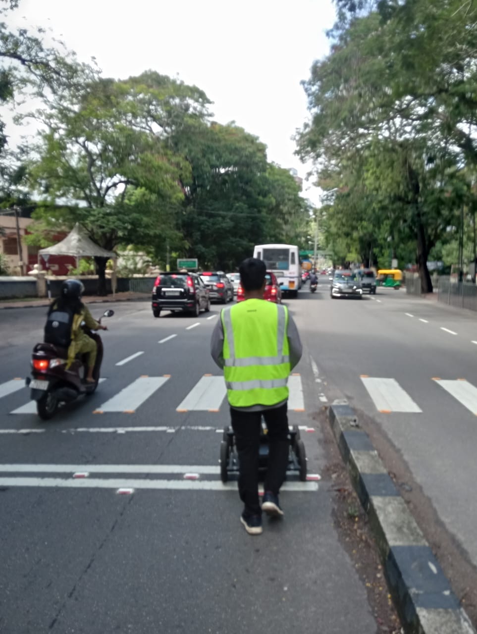
This project involves the application of Ground Penetrating Radar (GPR) technology for non-invasive subsurface investigation and underground utility mapping to support water infrastructure assessment and planning. The work includes field data acquisition using GPR, DGPS-based positioning, raw and processed data analysis, utility identification, and preparation of interpreted utility maps and technical drawings. The project deliverables also include detailed field documentation, interpretations, a comprehensive technical report, and 3D visualization and animation outputs to facilitate the interpretation and communication of subsurface features.
Status: Completed – Final report submitted to Kerala Water Authority.
Partner: Kerala Water Authority (KWA), IIT Tirupati and Thazhal Geospatial Analytics.
Project Link: Available upon publication or approval for public sharing.
Whether you are a researcher, startup, industry partner, government organisation, academic institution, or student, IITTNiF provides opportunities to innovate, collaborate, develop technologies, and create national impact.