
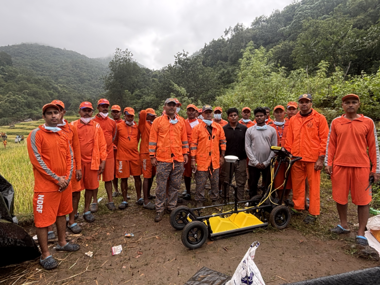
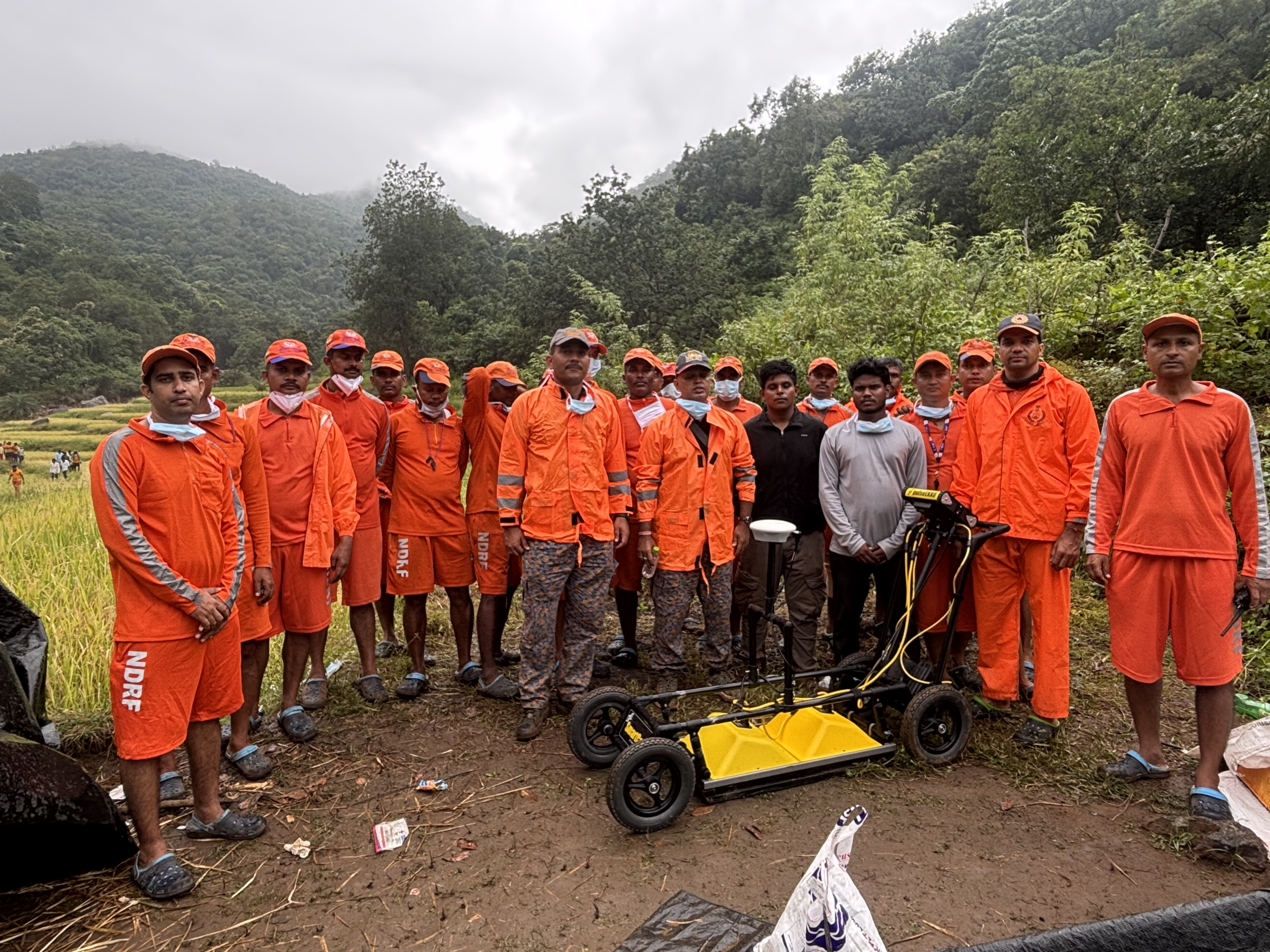
Location: Gidipaballi Village, Bhanjanagar Block, Ganjam District, Odisha, India
Date of Deployment: 01 November 2026
Technology: 250 MHz Ground Penetrating Radar (GPR), Remote Sensing & GIS
Project Overview
Following the landslide incident at Gidipaballi Village, Ganjam District, Odisha, on 30 October 2026, the Spatial Sensing Laboratory, IIT Tirupati, was mobilised to support the National Disaster Response Force (NDRF) in search and rescue operations. The mission involved investigating debris-covered areas where residential structures were buried beneath landslide materials, making surface-based identification and search difficult.
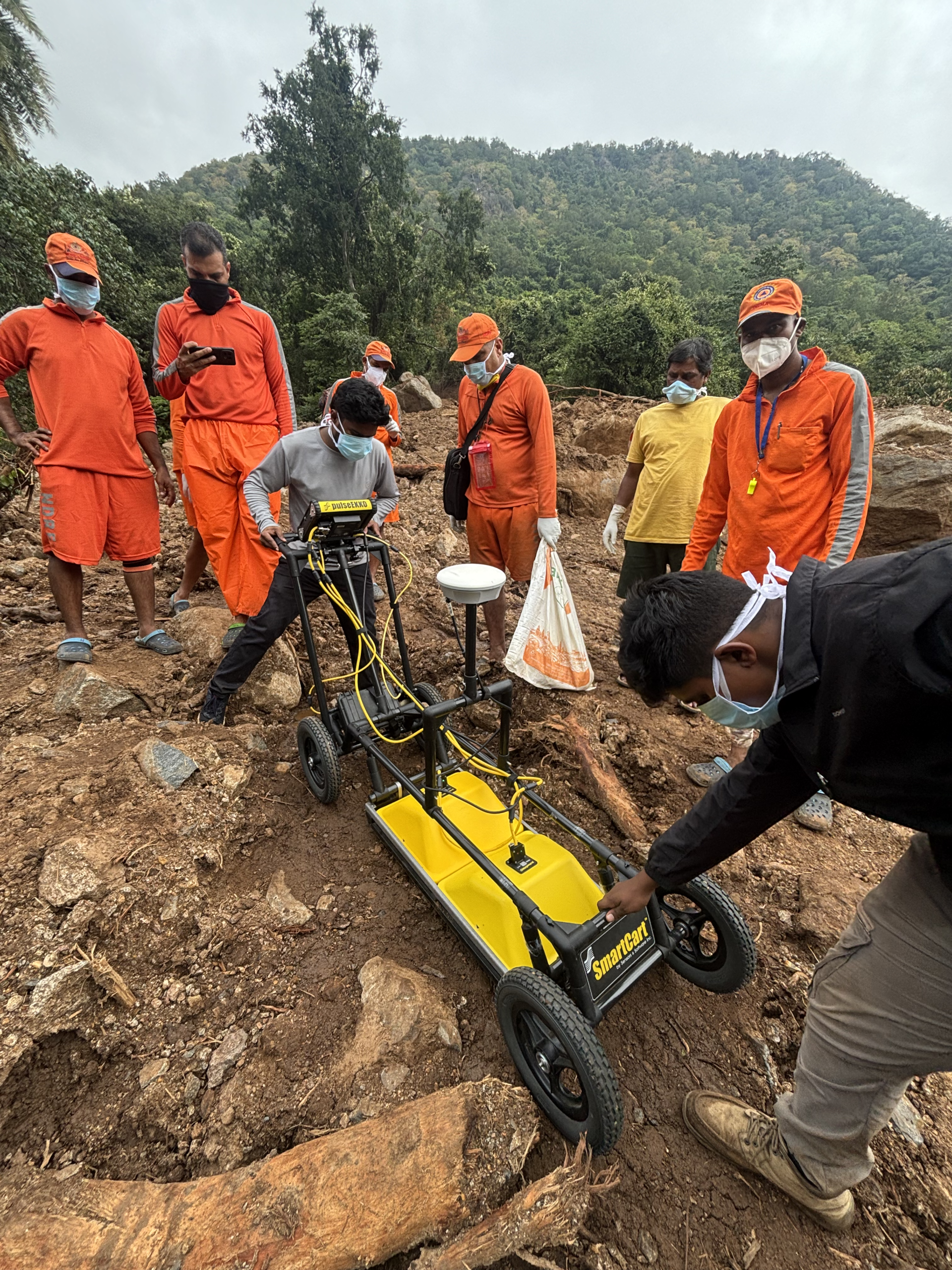
The team deployed a 250 MHz Ground Penetrating Radar (GPR) system to investigate subsurface conditions, identify potential buried structural features, and detect anomalous reflections and possible cavity signatures beneath the debris. The investigation integrated satellite imagery, GIS-based assessment and on-site geophysical surveys to prioritise locations for field investigation and support rescue teams in planning targeted excavation.
Problem Statement
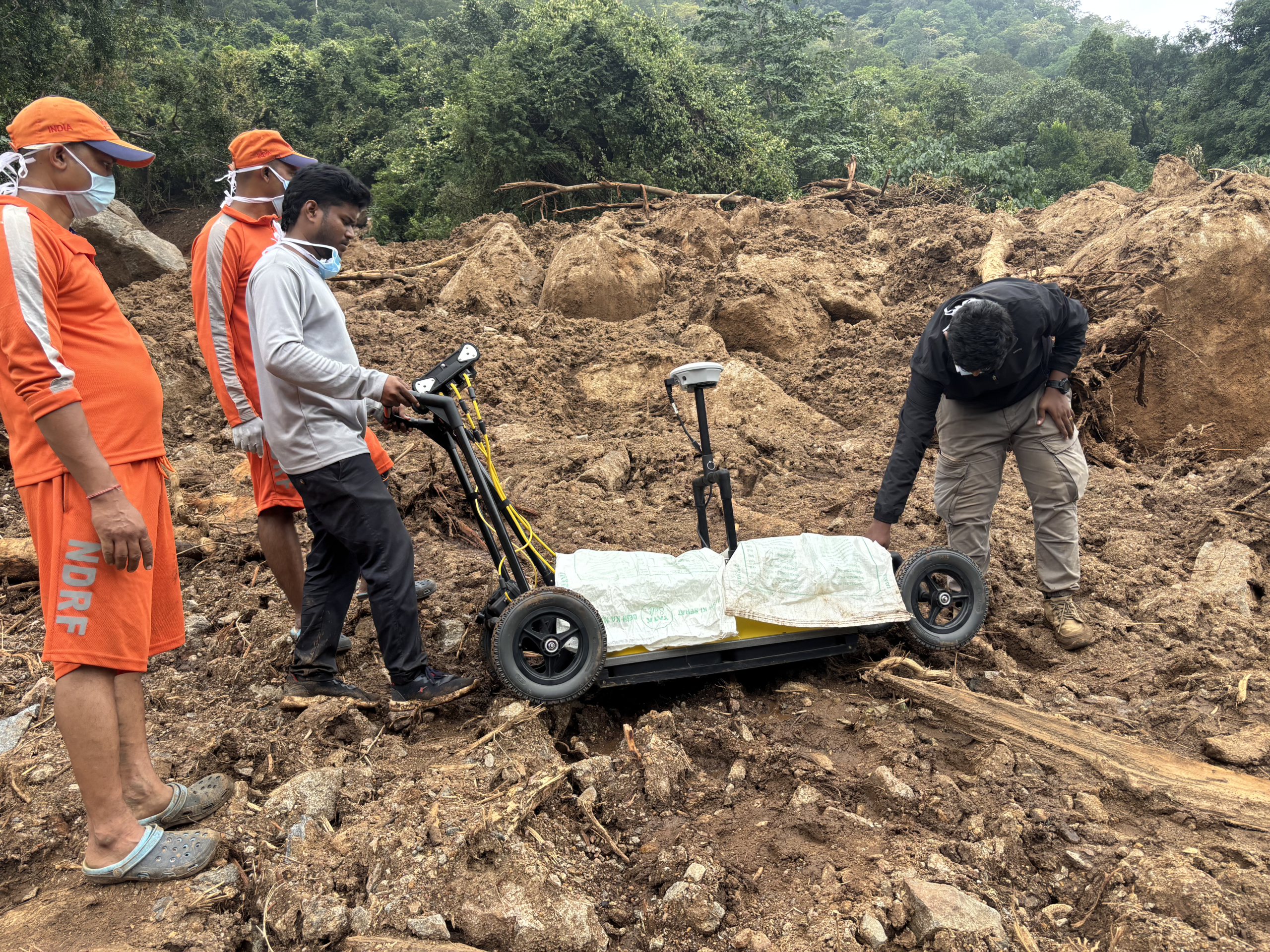
The landslide severely affected residential areas, burying structures beneath a heterogeneous mixture of soil, mud, weathered material, rock fragments, large boulders and fallen trees. The extent and thickness of debris, restricted accessibility and the absence of clearly identifiable surface structures made it difficult to determine the locations of buried houses and potential void spaces.
Conventional surface observations alone were insufficient to investigate subsurface conditions across selected locations. A rapid, non-invasive investigation approach was therefore required to examine the debris-covered ground, identify possible subsurface anomalies and provide additional technical information to support search prioritisation and rescue operations.
Our Technology
Ground Penetrating Radar (GPR) was deployed using a 250 MHz antenna system to investigate subsurface conditions beneath the landslide debris. The system transmitted electromagnetic signals into the ground and recorded reflections from subsurface interfaces, material variations and buried features.
The acquired radar data were processed and interpreted in the field to identify anomalous reflection patterns, possible air cavities, buried structural features and variations within the debris deposits. Satellite remote sensing and GIS analysis were integrated with GPR investigation to identify probable locations of buried residential structures and prioritise accessible survey areas.
Methodology
The investigation followed an integrated geospatial and geophysical workflow:
- Remote Sensing Assessment: Pre-event and post-event satellite imagery were examined to assess landslide extent, settlement locations and changes caused by the incident.
- GIS-Based Search Prioritisation: Previously existing residential structures were spatially correlated with post-landslide debris distribution to identify probable buried house locations and prioritise investigation regions.
- Targeted GPR Data Acquisition: Ground penetrating radar surveys were carried out in accessible areas within the prioritised regions.
- On-Site Processing & Interpretation: Radar profiles were processed and interpreted to identify subsurface interfaces, anomalous reflections and possible cavity signatures associated with buried structures.
- Field Reporting: Interpreted findings were communicated directly to NDRF personnel to support the identification of priority locations for further investigation and excavation.
Key Findings
GPR investigations conducted across two prioritised regions identified subsurface anomalies and cavity-like signatures associated with possible buried structural features.
- Region 01: Radar responses indicated possible cavity signatures associated with buried structures, suggesting the possibility of 4–5 trapped individuals.
- Region 02: A separate cavity-like anomaly was identified, suggesting the possibility of one additional individual.
- Subsurface Characterisation: Variations in radar reflections helped assess subsurface interfaces, heterogeneous debris deposits and potential buried features.
- Target Identification: Selected anomalous zones were communicated to rescue personnel to support targeted field assessment and excavation planning.
GPR interpretations represent indirect subsurface evidence and cannot independently confirm the presence of human remains or trapped individuals.
Outcome & Impact
The field deployment demonstrated the practical application of geophysical sensing in disaster response, particularly where landslide debris obscures residential structures and complicates conventional search efforts.
The integration of remote sensing, GIS and GPR helped narrow down investigation locations, identify potential subsurface anomalies and provide additional information to rescue teams operating under challenging terrain and accessibility conditions.
Despite thick mud, loose debris, large boulders, slippery terrain and limitations in continuous data acquisition, the team successfully completed targeted GPR investigations at accessible locations.
The mission highlighted the potential of combining geophysical technologies and geospatial intelligence to strengthen disaster assessment, improve search prioritisation and support technology-assisted rescue operations.
Technology for real-world challenges — delivering subsurface intelligence when it matters most.
Let's Build the Future With Us
Whether you are a researcher, startup, industry partner, government organisation, academic institution, or student, IITTNiF provides opportunities to innovate, collaborate, develop technologies, and create national impact.