
Status: Ongoing
Research area: Virtual Reality, planetary visualization and geospatial data integration
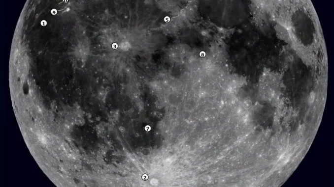
This project develops an immersive lunar environment using real lunar elevation datasets and three-dimensional terrain models. It is designed to enable users to explore lunar surface features and investigate designated landing regions through a VR headset.
Current development focuses on integrating global lunar terrain with higher-resolution local terrain around the Chandrayaan-3 landing region, known as Shiv Shakti Point. Work includes terrain mesh processing, multi-resolution terrain visualization, surface alignment, collision detection and user positioning to support a consistent exploration experience across terrain scales. Additional development addresses terrain continuity, lighting, surface interaction and immersive navigation.
Key technologies: Unity, lunar elevation datasets, 3D terrain modelling and Meta Quest headsets.
Objective: Establish an immersive, geospatially grounded lunar exploration platform for planetary surface visualization and mission-site exploration.
Let's Build the Future With Us
Whether you are a researcher, startup, industry partner, government organisation, academic institution, or student, IITTNiF provides opportunities to innovate, collaborate, develop technologies, and create national impact.