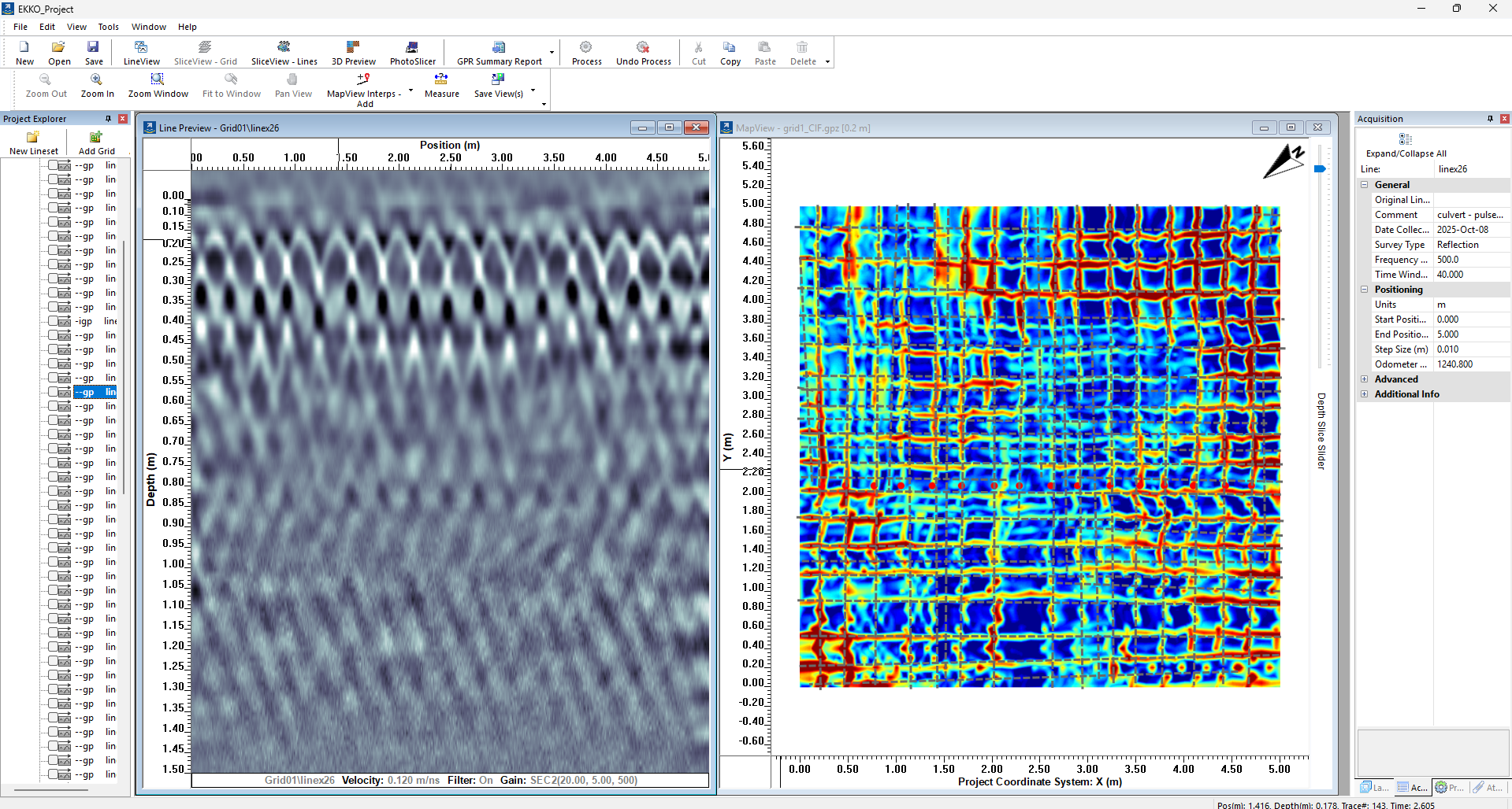
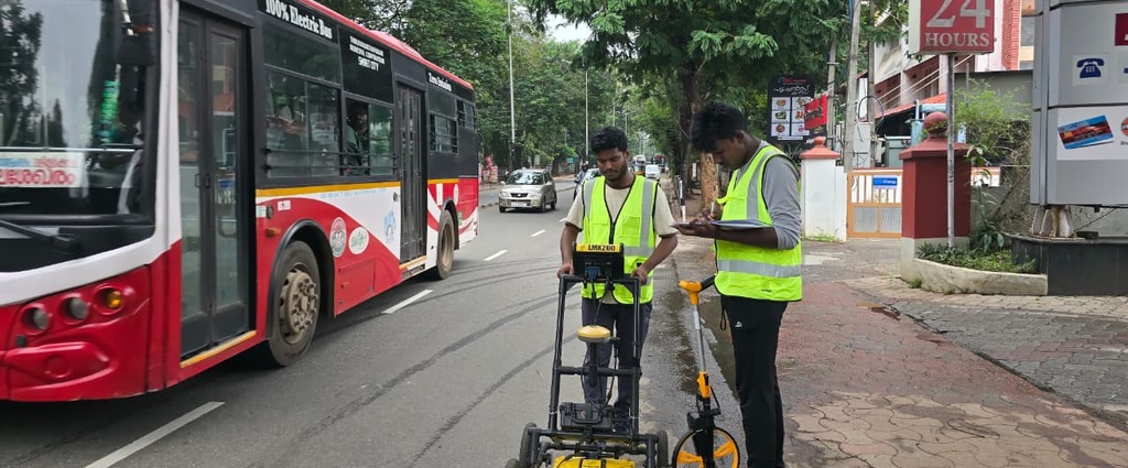
Ground Penetrating Radar (GPR)-Based Subsurface Utility Mapping for Kerala Water Authority (KWA)
Description: This project involves the application of Ground Penetrating Radar…
From Geophysical Signals to Subsurface Intelligence
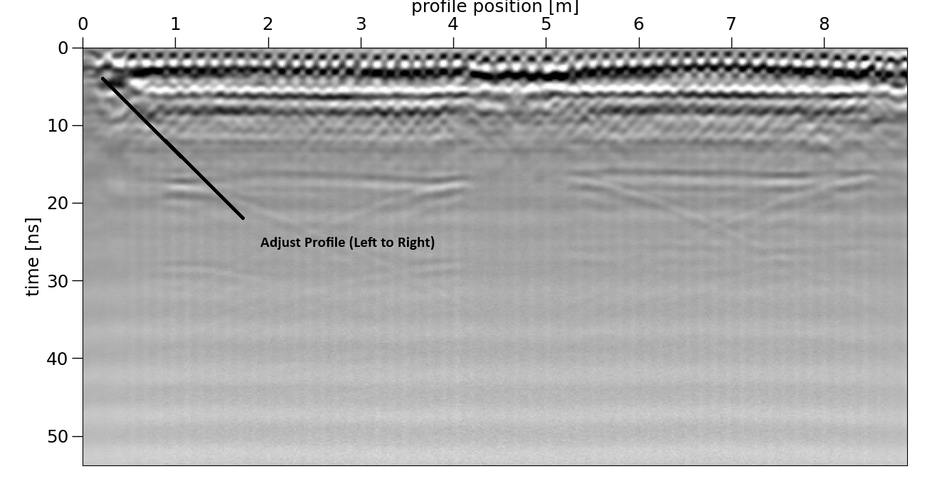
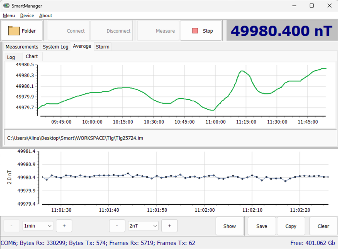
The Spatial Sensing Lab at IITTNiF develops indigenous sensing technologies and integrated geospatial solutions for understanding the Earth’s surface, subsurface, and built environment. The lab combines GPR, magnetometry, LiDAR, photogrammetry, remote sensing, and 3D mapping for applications in mineral exploration, geological investigations, infrastructure assessment, underground utility mapping, terrain analysis, and natural resource management.
Through integrated ground-based and aerial sensing, advanced data processing, 3D reconstruction, and field experimentation, the lab transforms complex spatial data into actionable intelligence for scientific research, industry, and informed decision-making.
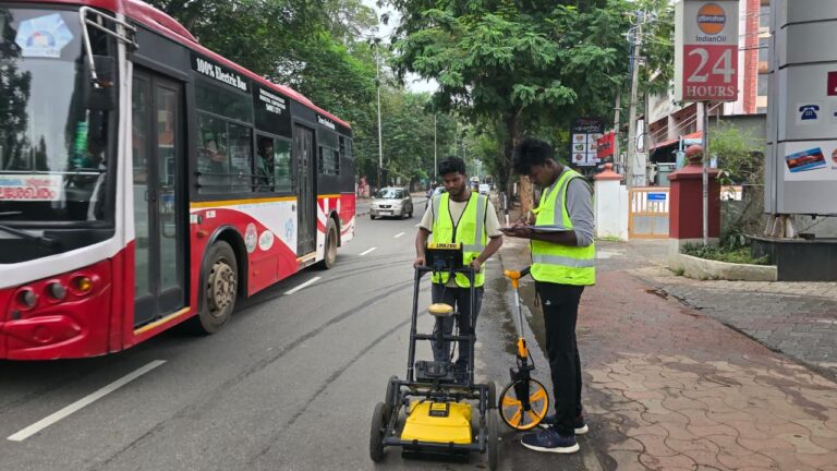
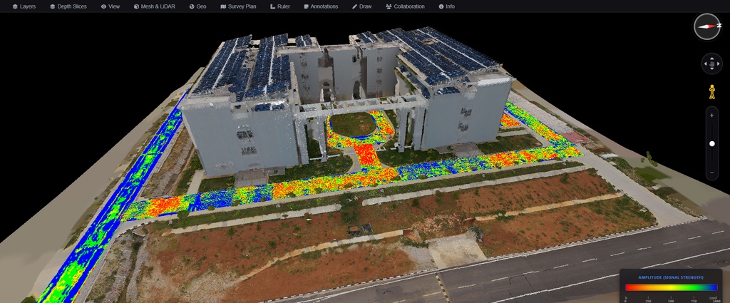
Description: This project involves the application of Ground Penetrating Radar…
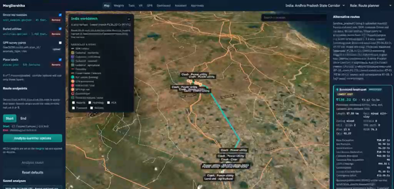
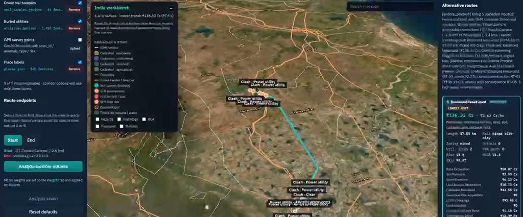
Description: MargDarshika is a collaborative technology development initiative between IITTNiF…
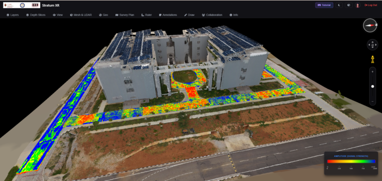
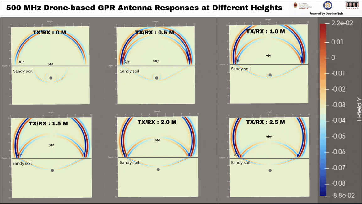
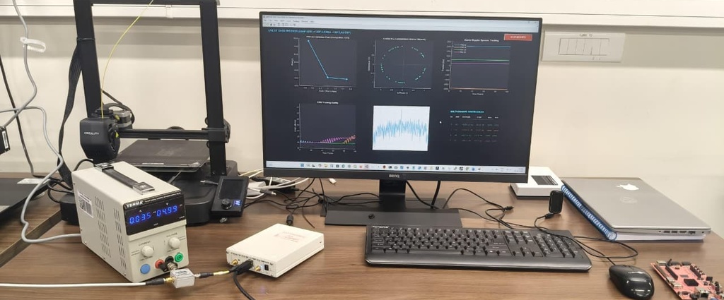
Description: This project focuses on the development of indigenous Ground…
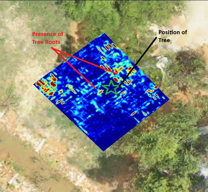
Problem Statement Understanding root architecture is essential for assessing tree…
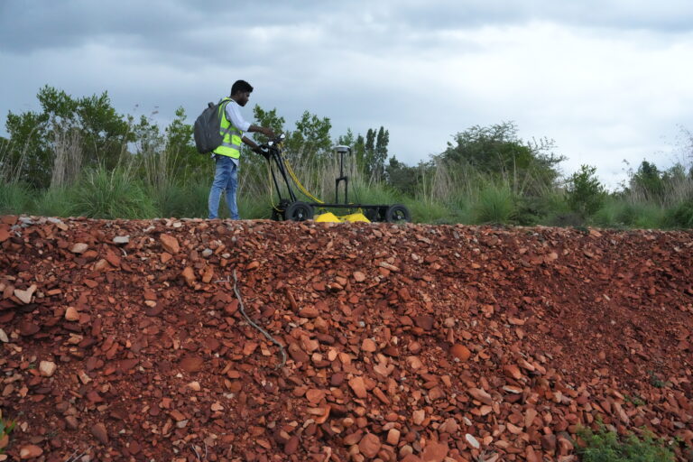
Problem Statement Characterizing regolith layers is essential for understanding ground…
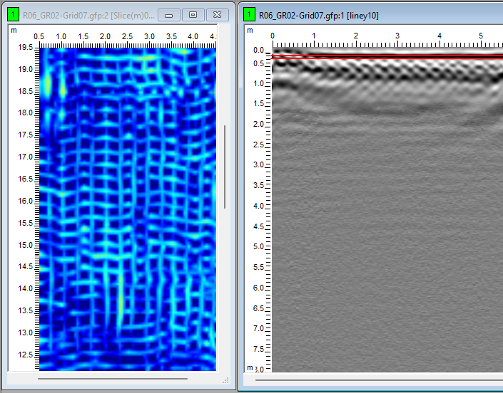
Problem Statement In transportation and pavement engineering, accurate knowledge of…
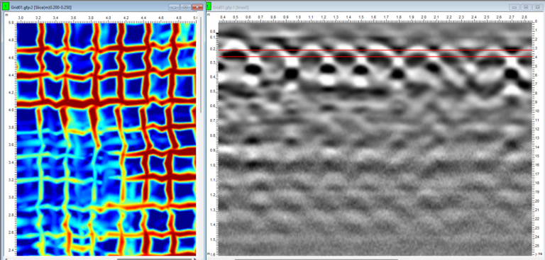
Problem Statement The performance and durability of reinforced concrete structures…
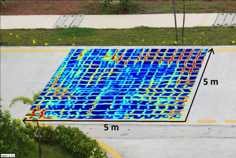
Problem Statement Coring through reinforced concrete requires precise avoidance of…
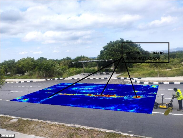
Problem Statement Road durability depends on the integrity of subsurface…
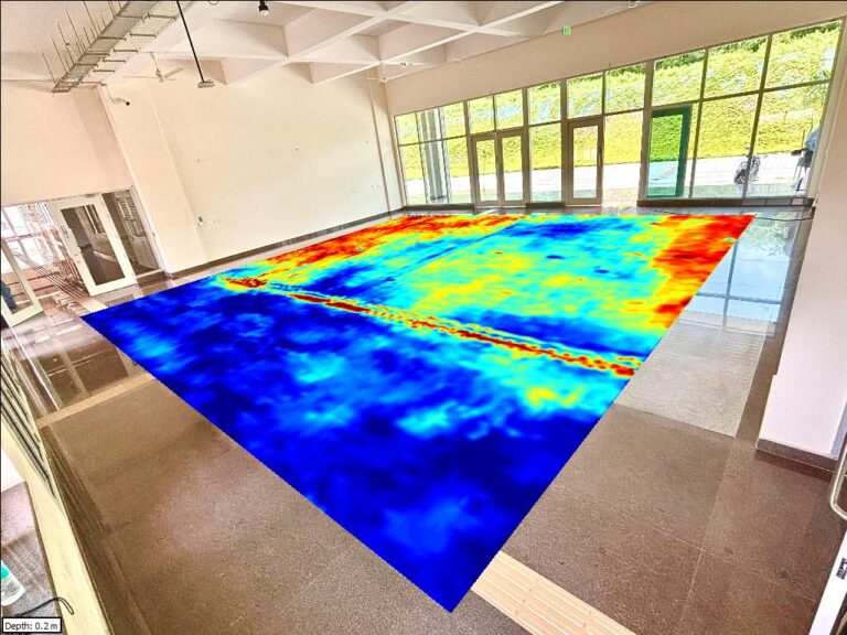
Problem Statement Indoor environments often host a complex network of…
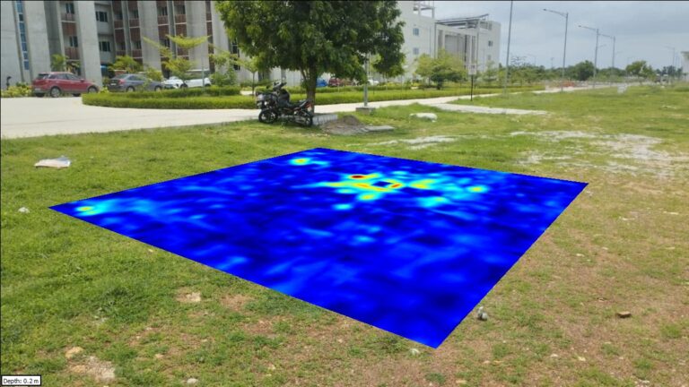
Problem Statement Optical Fiber Cables (OFCs) form the backbone of…
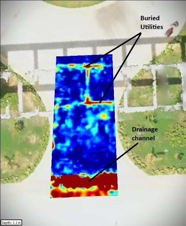
Problem Statement Optical Fiber Cables (OFCs) form the backbone of…
Whether you are a researcher, startup, industry partner, government organisation, academic institution, or student, IITTNiF provides opportunities to innovate, collaborate, develop technologies, and create national impact.