
Continuously Operating Reference Station (CORS) Network
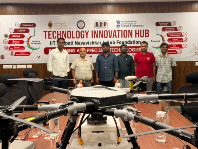
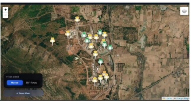
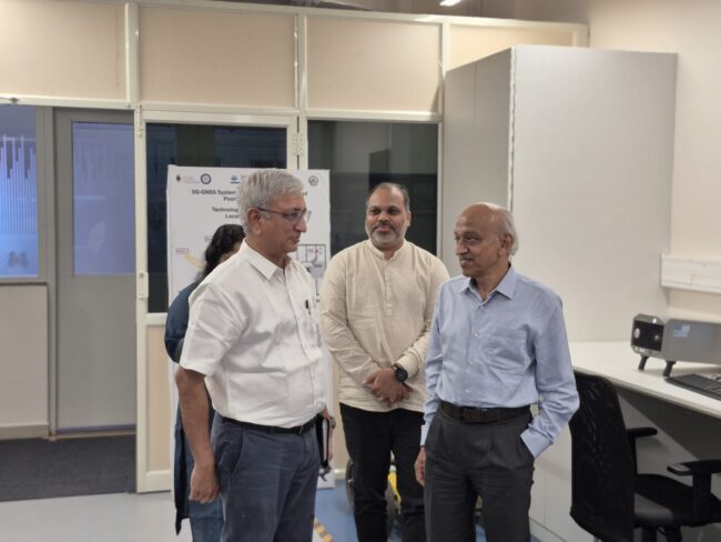
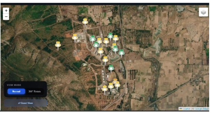
Development and Establishment of a GNSS Continuously Operating Reference Station (CORS) Network Summary: Establishment of a GNSS reference station network to support high-precision positioning, navigation research, and geospatial applications. Detailed Description: The CORS Network project focuses on developing GNSS infrastructure to support continuous satellite signal tracking, precise positioning, and geospatial research. Continuously Operating Reference Stations…
GNSS Test Bed Development and Validation
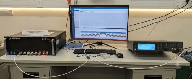
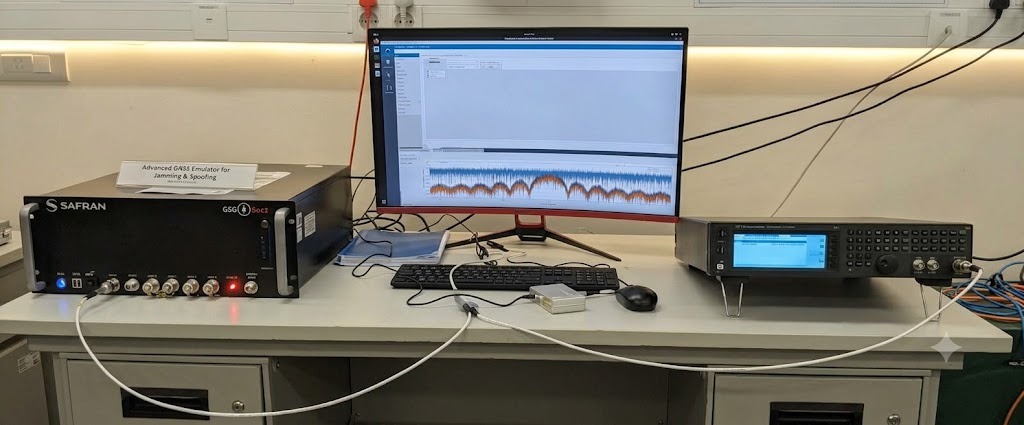
GNSS Test Bed Development and Validation Summary: Development and validation of a GNSS test bed for evaluating satellite navigation receivers, signal performance, and positioning technologies under conducted and radiated testing conditions. Detailed Description: The GNSS Test Bed is designed to support the testing, validation, and performance evaluation of Global Navigation Satellite System (GNSS) technologies, including…
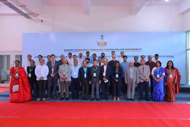
5th BRICS Working Group Meeting on Geospatial Technologies and its Applications
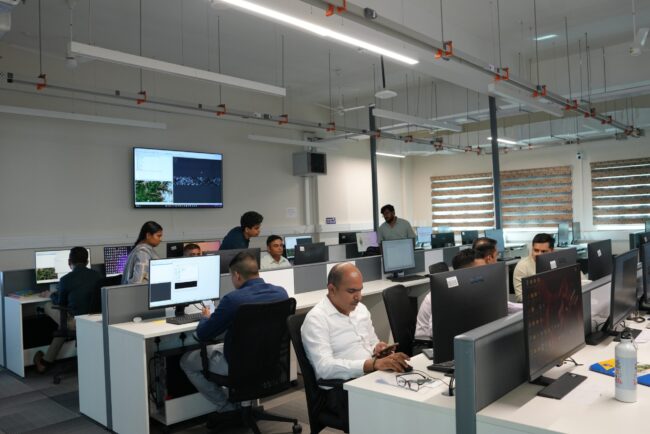
The 5th BRICS Working Group Meeting on Geospatial Technologies brought together experts, researchers, government representatives, academic institutions, industry professionals, and international delegates to discuss the role of geospatial technologies in strengthening cooperation, innovation, resilience, and sustainable development among BRICS nations. The meeting focused on advancing collaboration in geospatial science and technology and explored the…
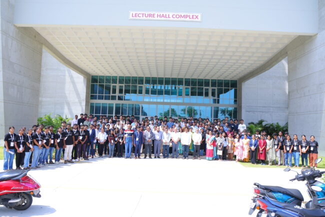
National AI/ML Hackathon: Ministry of Panchayati Raj (Geospatial Intelligence Challenge)
Overview The Geospatial Intelligence and Applications Laboratory (GeoIntel Lab) at the IIT Tirupati Navavishkar I-Hub Foundation (IITTNiF), in collaboration with the Ministry of Panchayati Raj (MoPR), the NIC Geospatial Division, and CogniAI as the Platinum Partner, successfully conducted the Grand Finale of the National AI/ML Hackathon on 27 June 2026. The national challenge brought together…
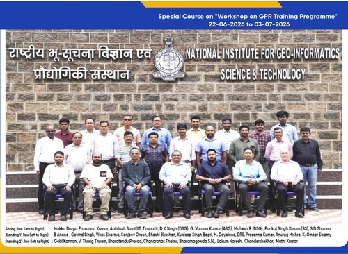
Subsurface Intelligence Program (SIP–GPR) | Officer’s Edition | Batch 2
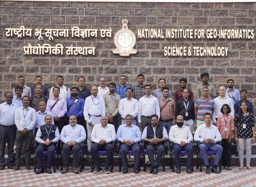
OverviewThe Subsurface Intelligence Program (SIP–GPR) was conducted to build technical capacity among Survey of India officers in the application of Ground Penetrating Radar (GPR) for subsurface investigations. The 12-day program combined theoretical sessions, practical demonstrations, field-based training, hands-on data acquisition, processing, interpretation, and real-world case studies. About / BackgroundThe program brought together institutional expertise in…
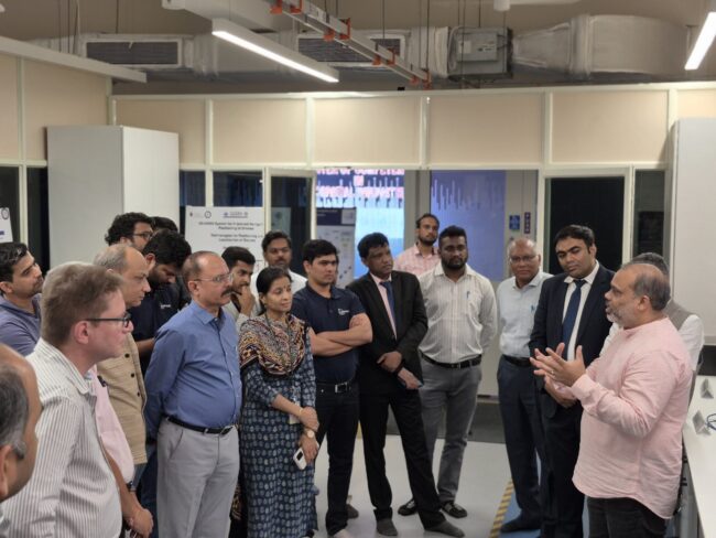
Subsurface Intelligence Program (SIP–GPR) – Batch 1
OverviewThe first batch of the Subsurface Intelligence Program (SIP–GPR) was conducted from 28 to 30 January 2026 to build technical capacity among Survey of India officers in the application of Ground Penetrating Radar (GPR) for subsurface investigations. The three-day program combined expert lectures, practical demonstrations, field-based training, case studies, and hands-on data processing. About /…