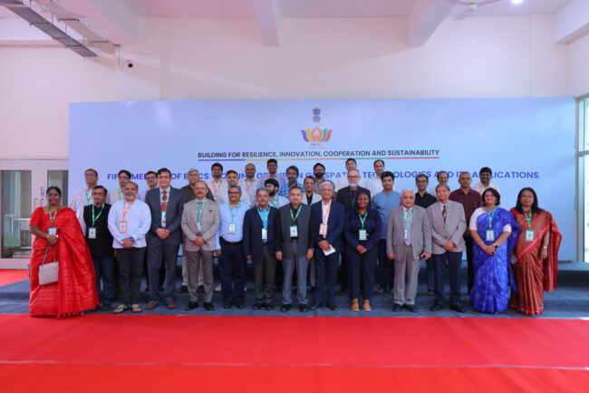
5th BRICS Working Group Meeting on Geospatial Technologies and its Applications

  The 5th BRICS Working Group Meeting on Geospatial Technologies brought together experts, researchers, government representatives, academic institutions, industry professionals, and international delegates to discuss the role of geospatial technologies in strengthening cooperation, innovation, resilience, and sustainable development among BRICS nations. The meeting focused on advancing collaboration in geospatial science and technology and explored the…
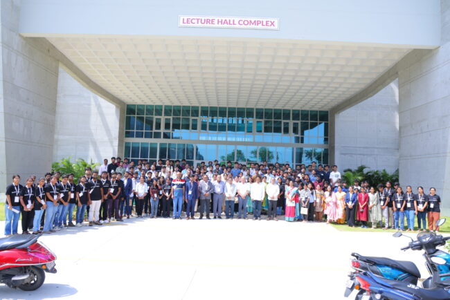
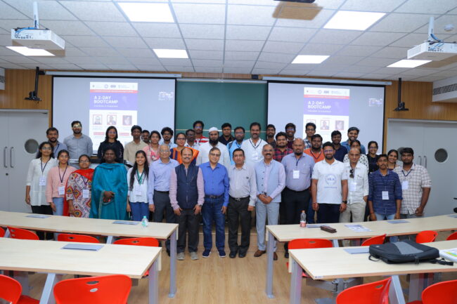
National AI/ML Hackathon: Ministry of Panchayati Raj (Geospatial Intelligence Challenge)

Overview The Geospatial Intelligence and Applications Laboratory (GeoIntel Lab) at the IIT Tirupati Navavishkar I-Hub Foundation (IITTNiF), in collaboration with the Ministry of Panchayati Raj (MoPR), the NIC Geospatial Division, and CogniAI as the Platinum Partner, successfully conducted the Grand Finale of the National AI/ML Hackathon on 27 June 2026. The national challenge brought together…

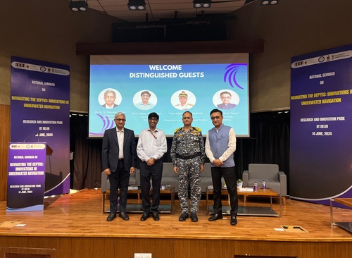
National Seminar on “Navigating the Depths: innovations in Underwater Navigation

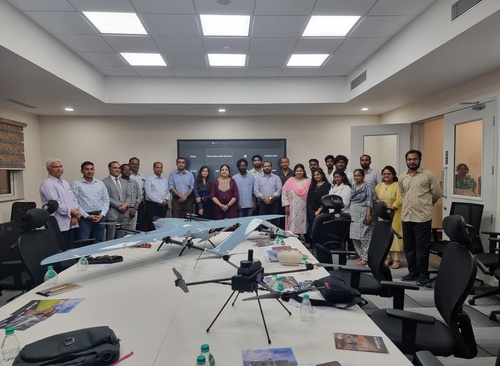
IITTNiF has launched Operation Dronagiri — a landmark initiative that harnesses the power of drone-based geospatial intelligence to accelerate progress across precision agriculture, disaster response, urban planning, and land administration. The programme brings together IITTNiF’s GNSS, GIS, and AI/ML labs in a coordinated effort with government and industry partners.

One Day International Workshop on Hyperspectral Remote Sensing

Event Details One Day International Workshop on Hyperspectral Remote Sensing Date: 16 May 2024Mode: HybridVenue: IIT Tirupati Navavishkar I-Hub Foundation (IITTNiF), CIF Building, 2nd Floor, Andhra Pradesh – 517619Organized by: IIT Tirupati Navavishkar I-Hub Foundation (IITTNiF)Participants: 45 participants, including both offline and online attendees. One Day International Workshop … Overview The One Day International Workshop…