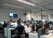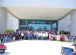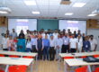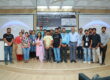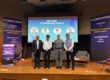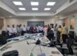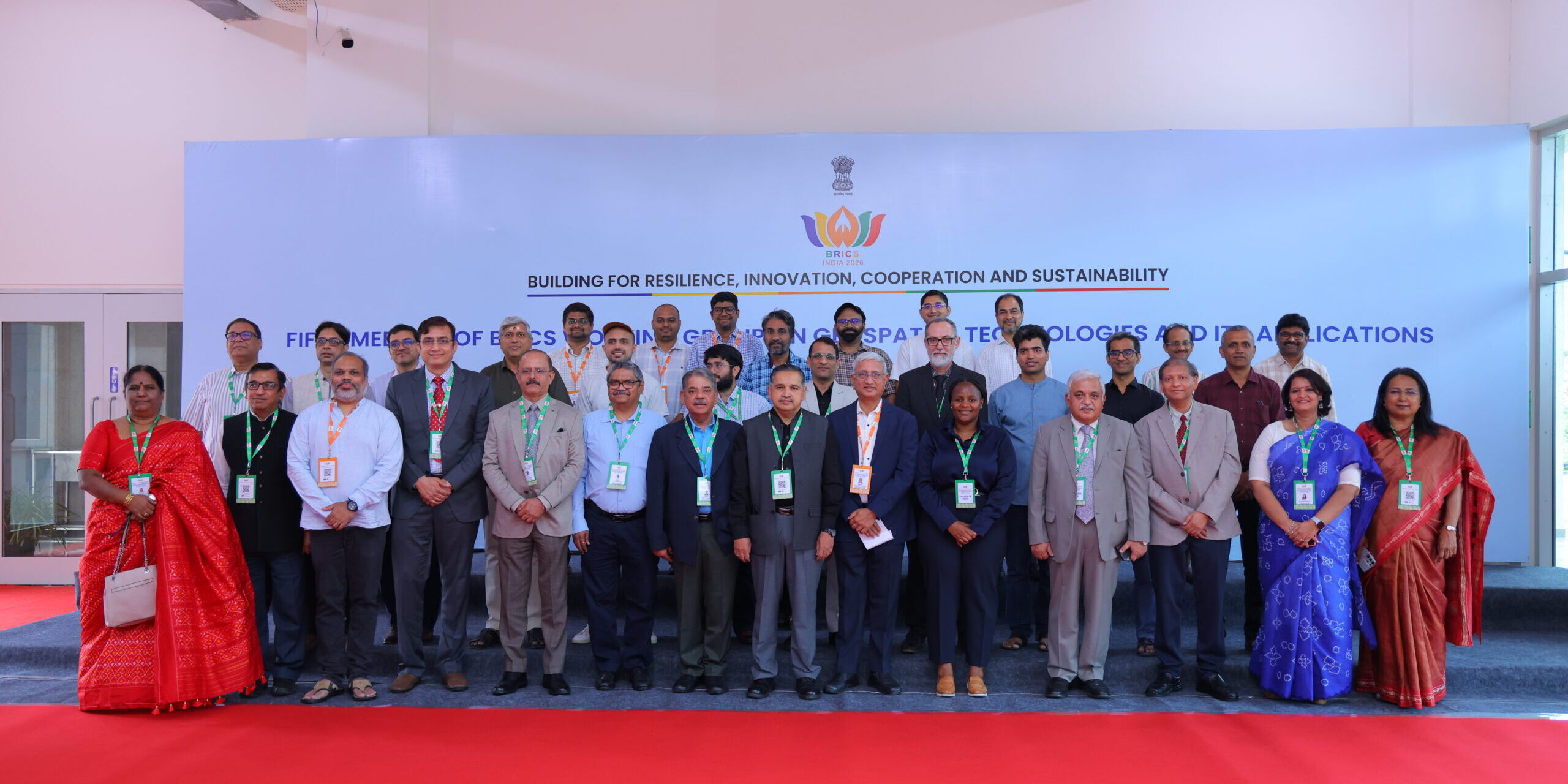


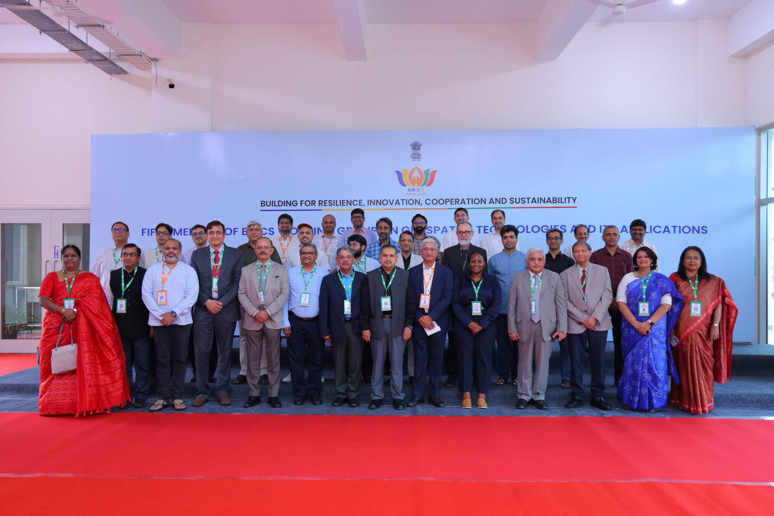
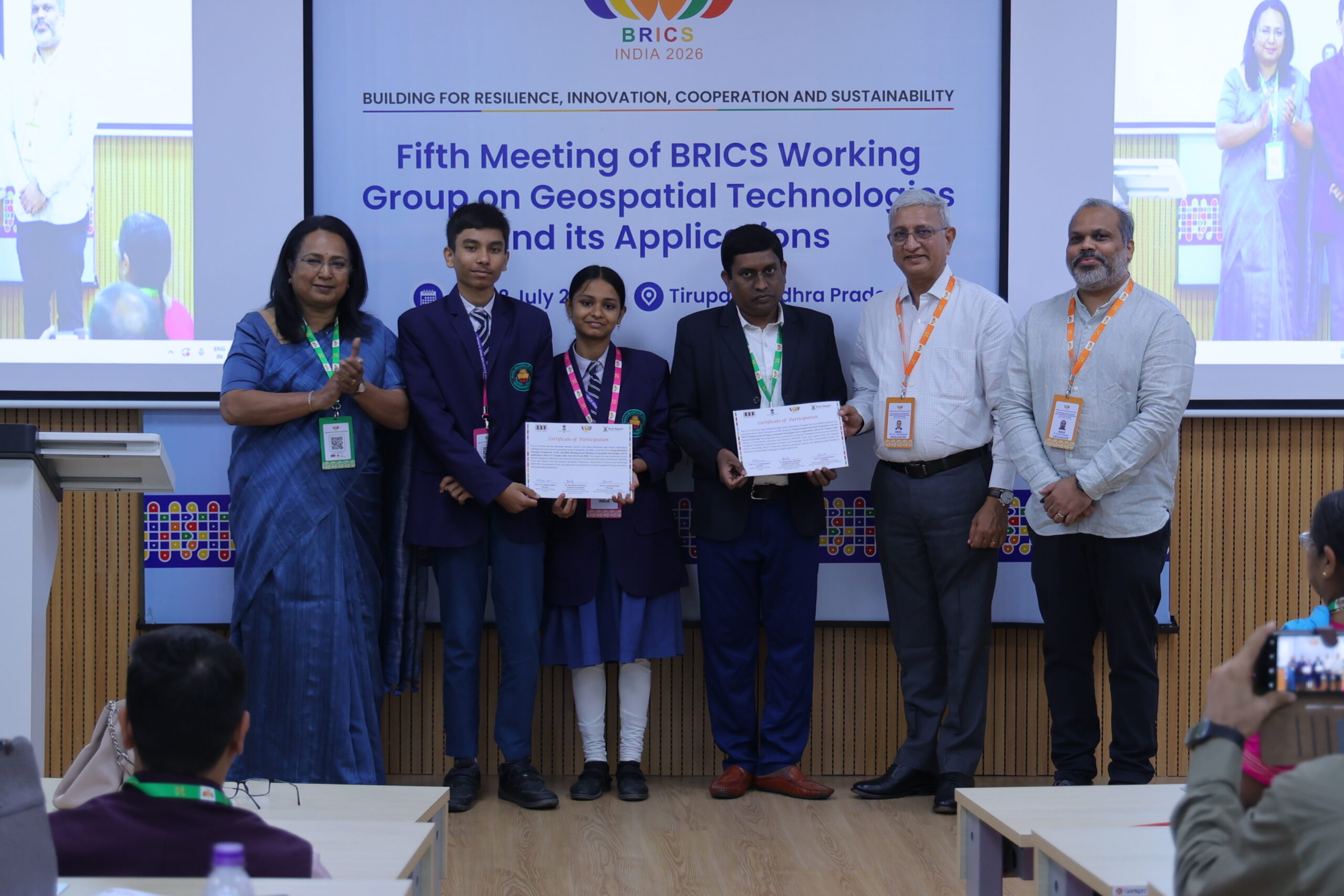
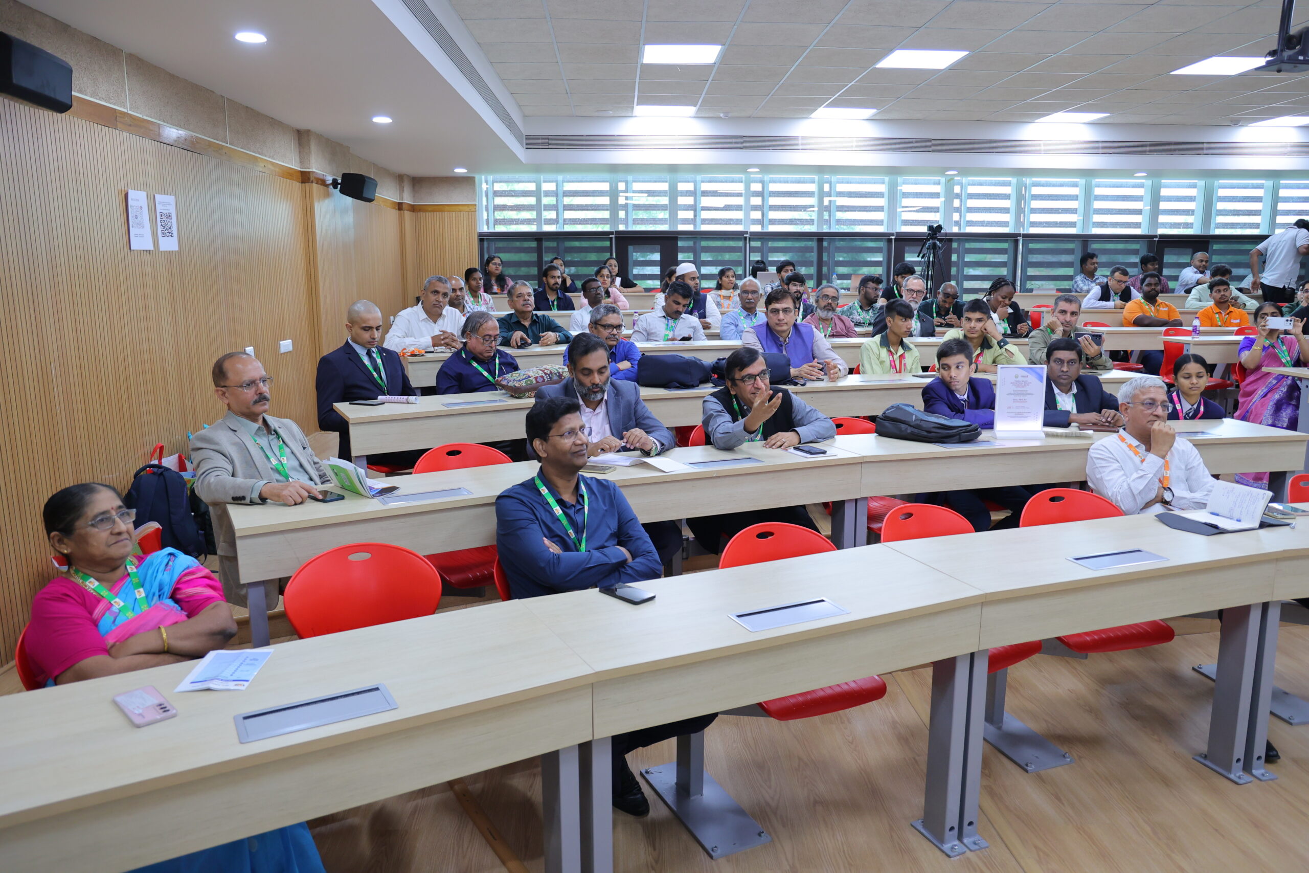
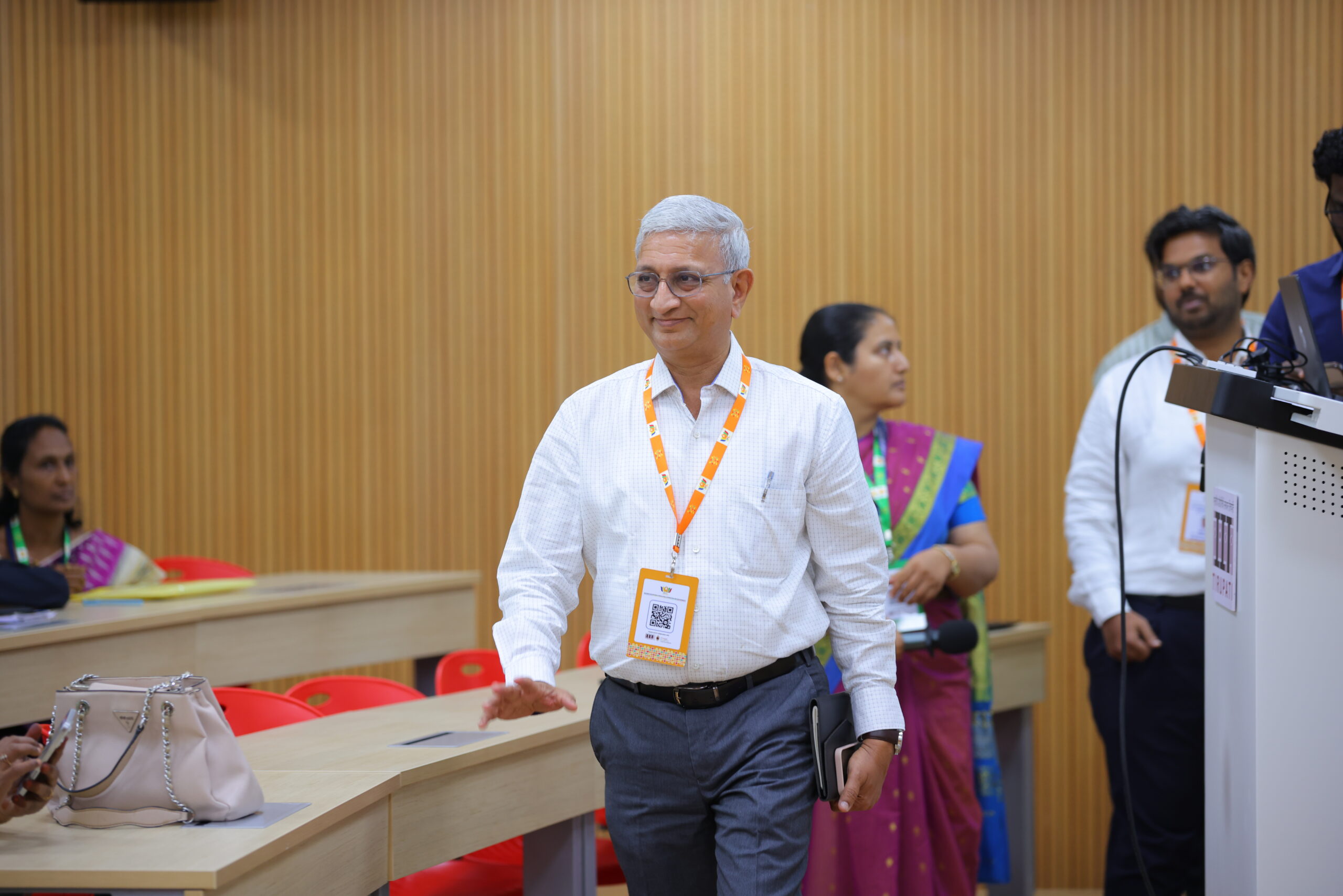
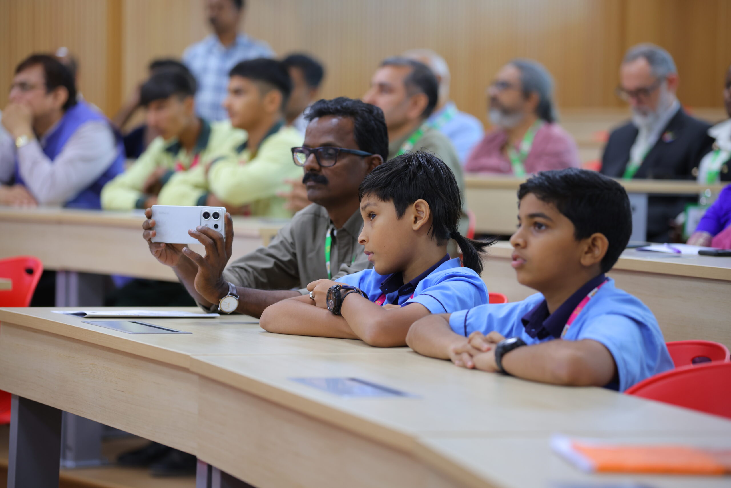
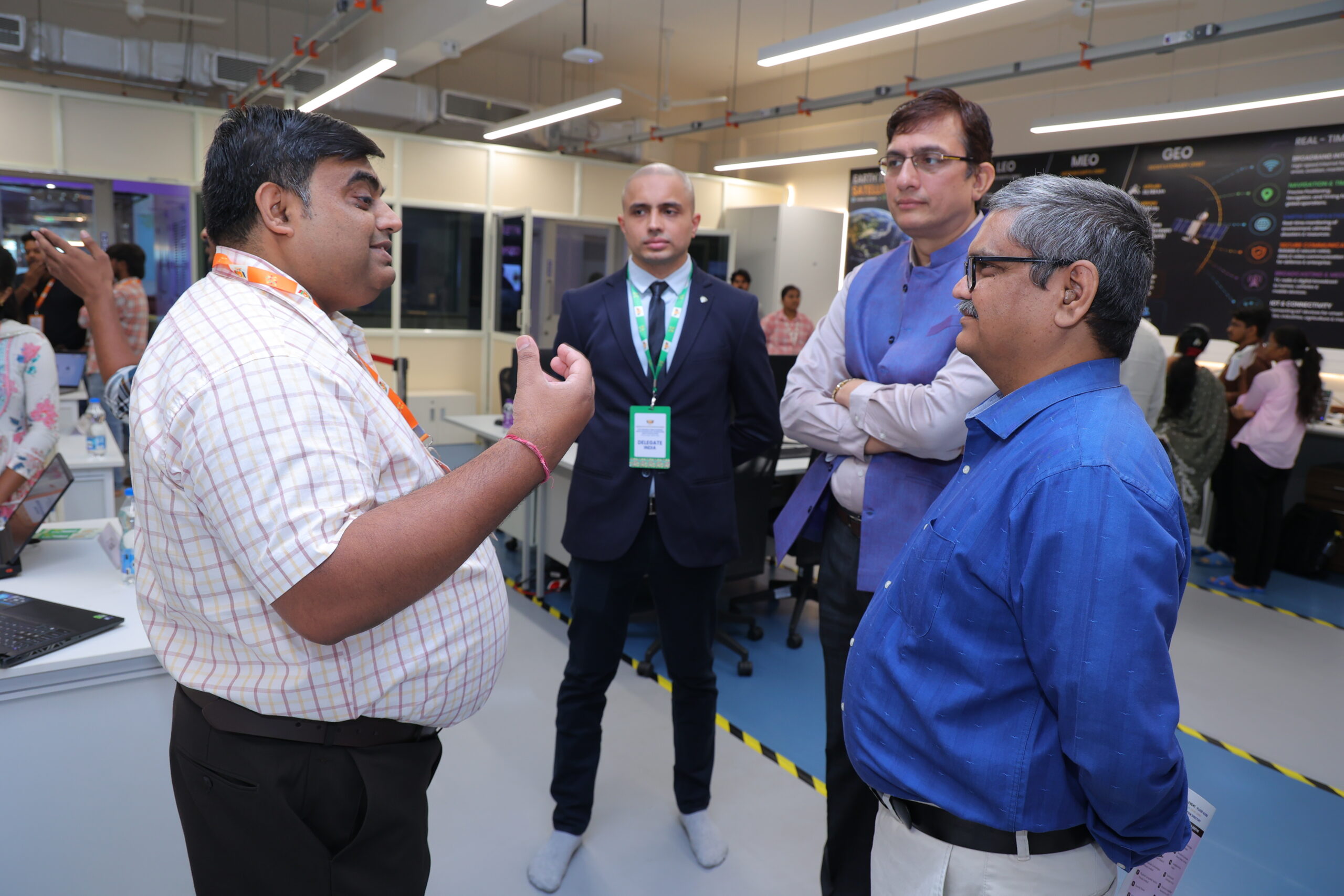
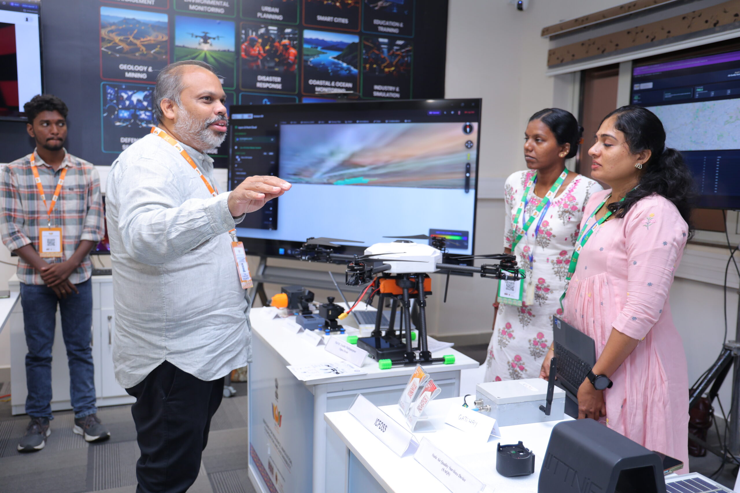
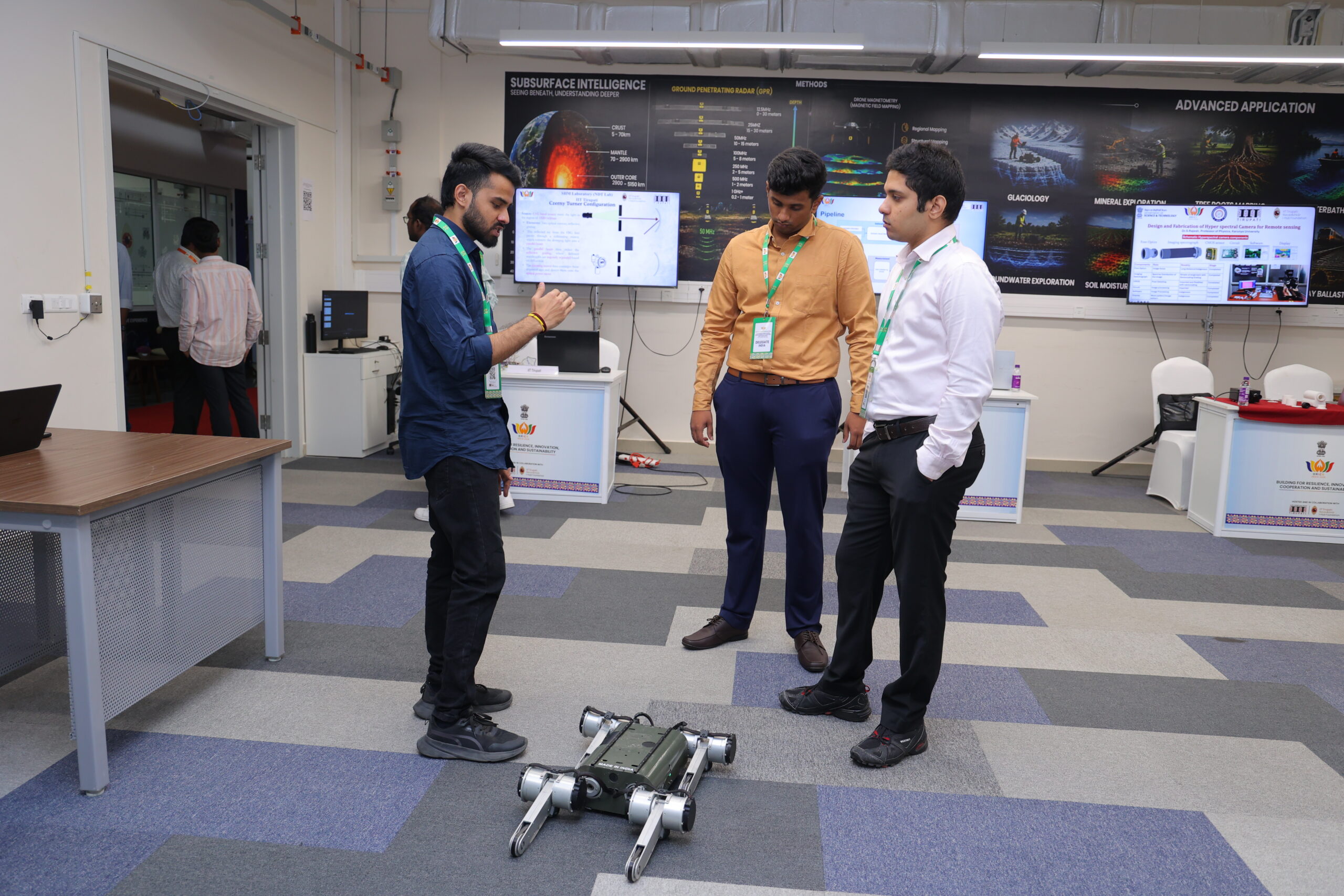
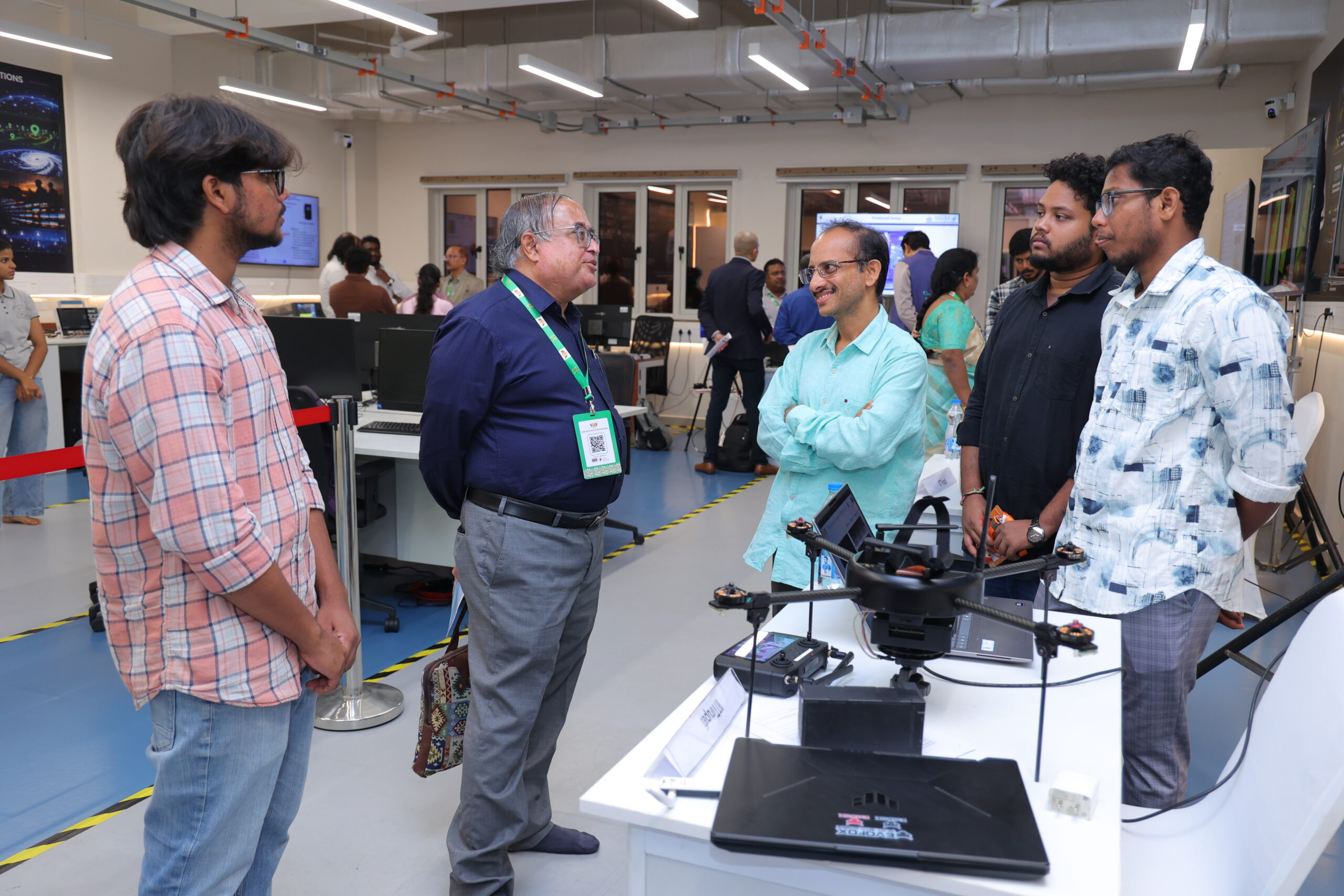
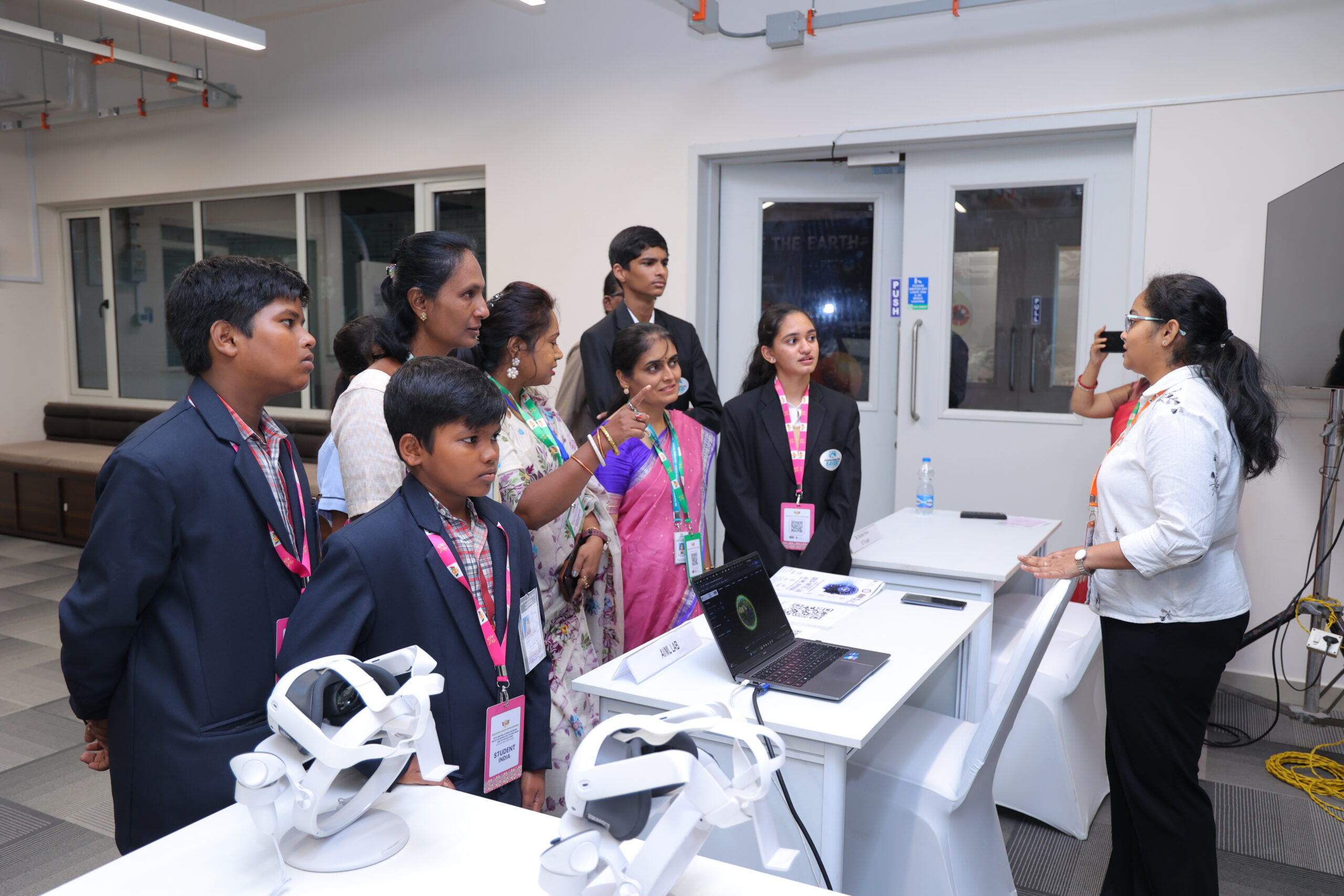
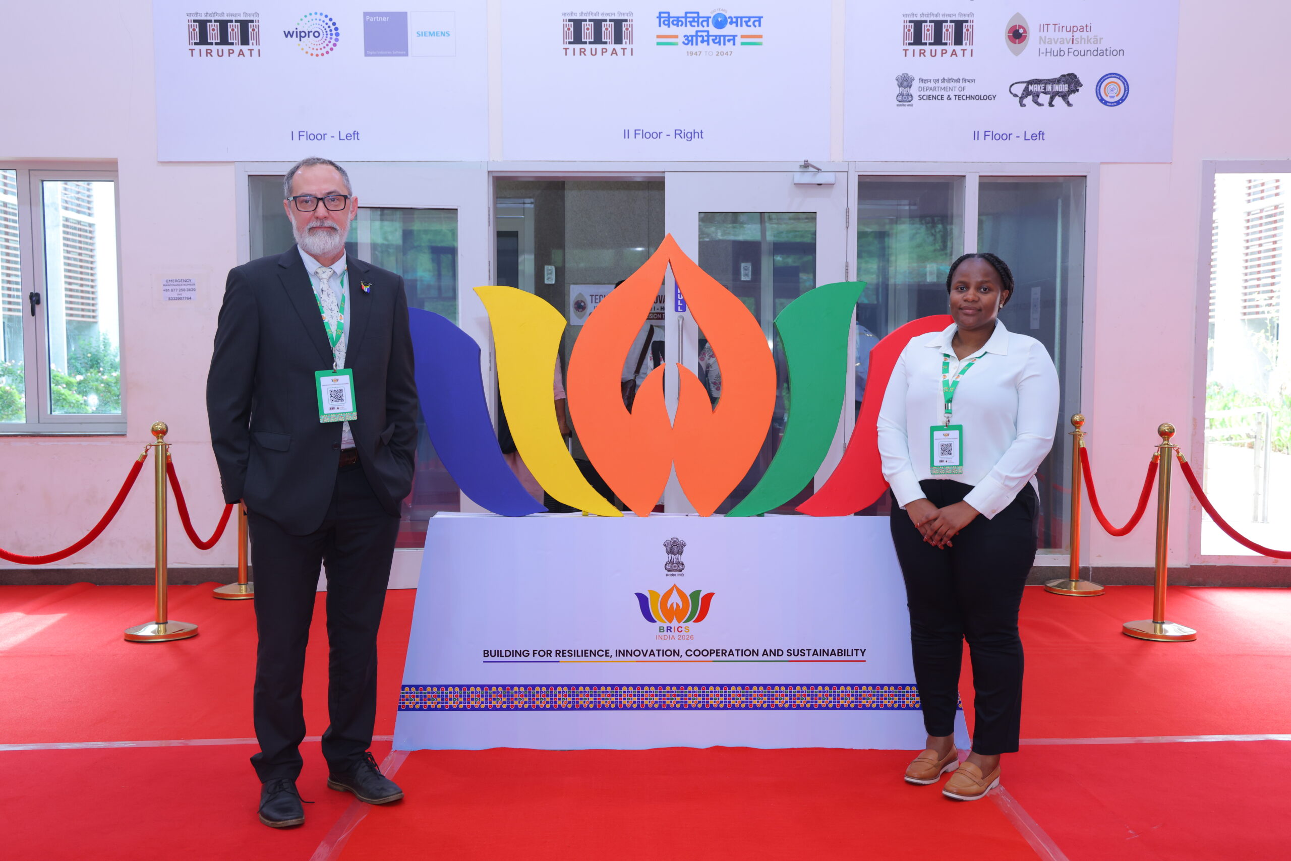
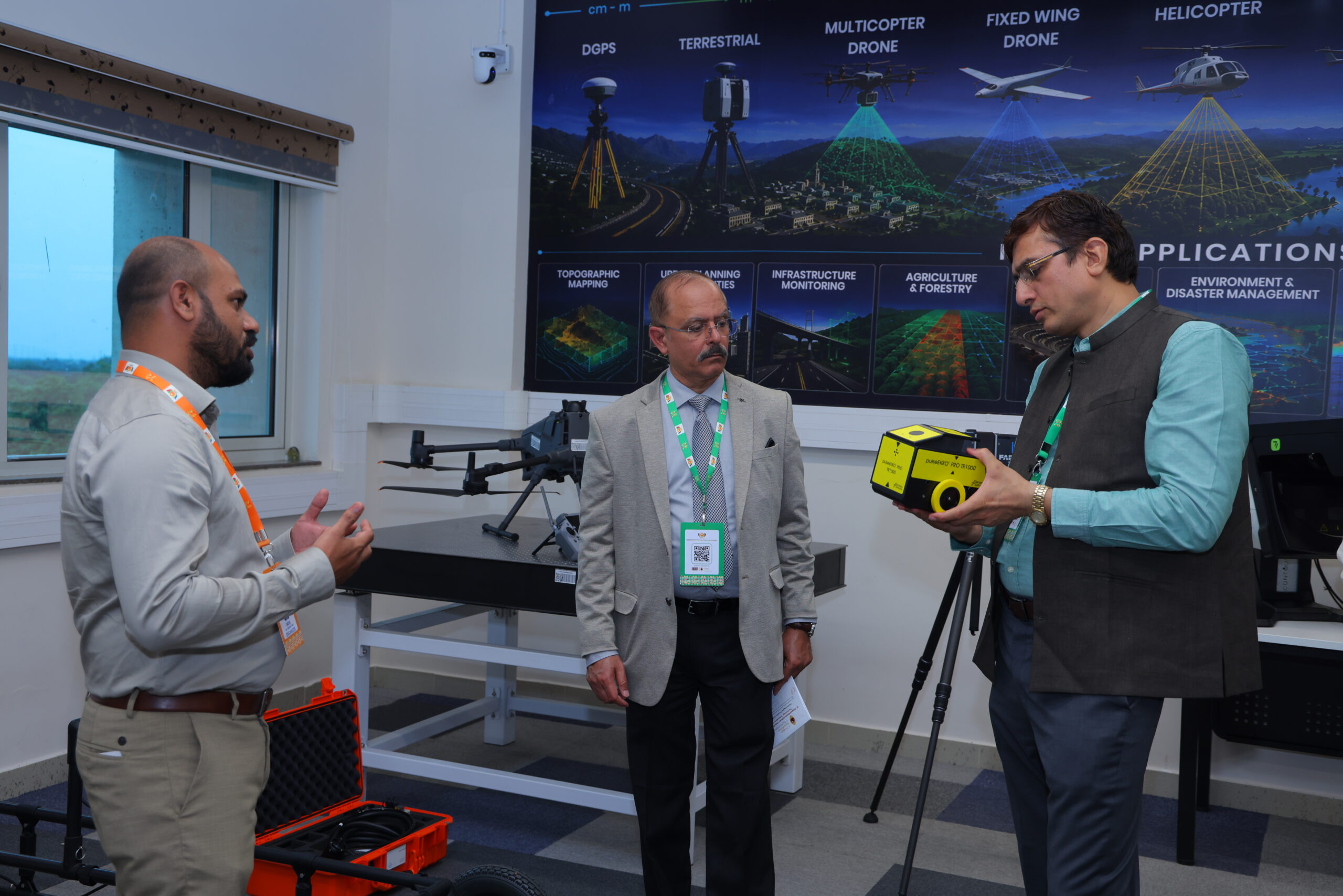
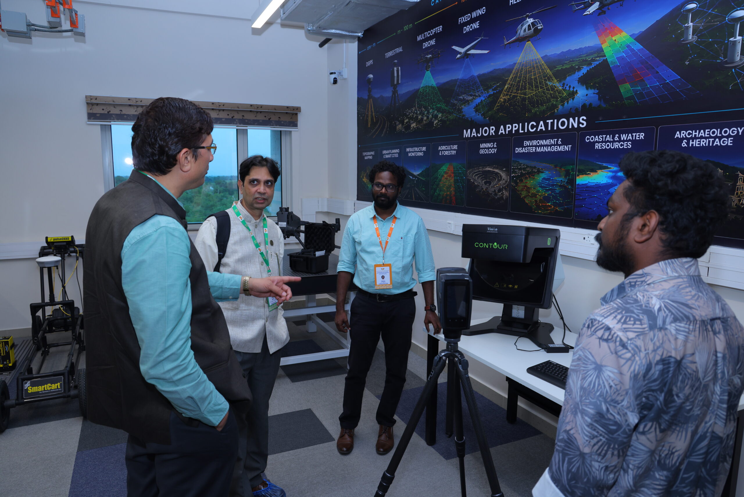
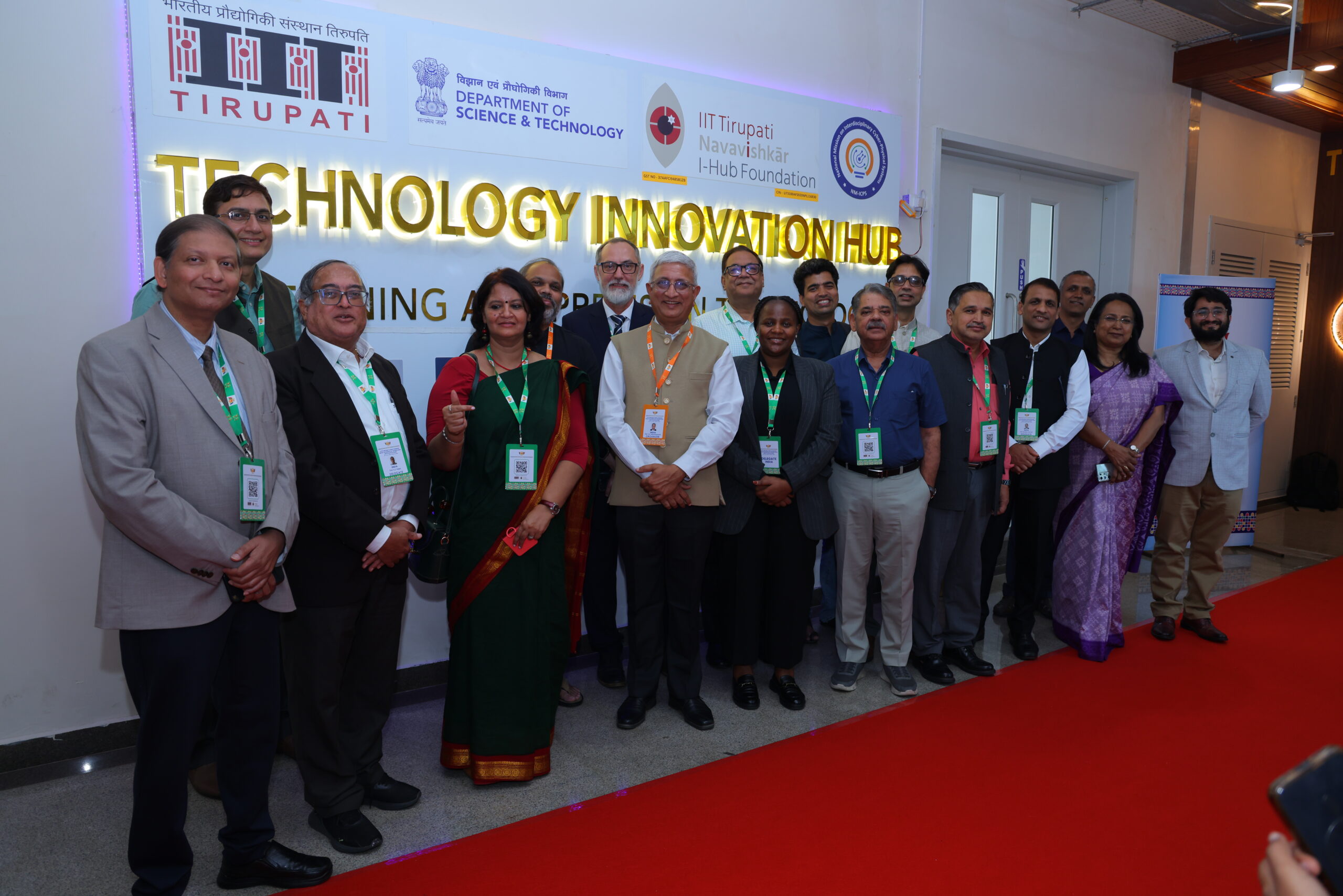
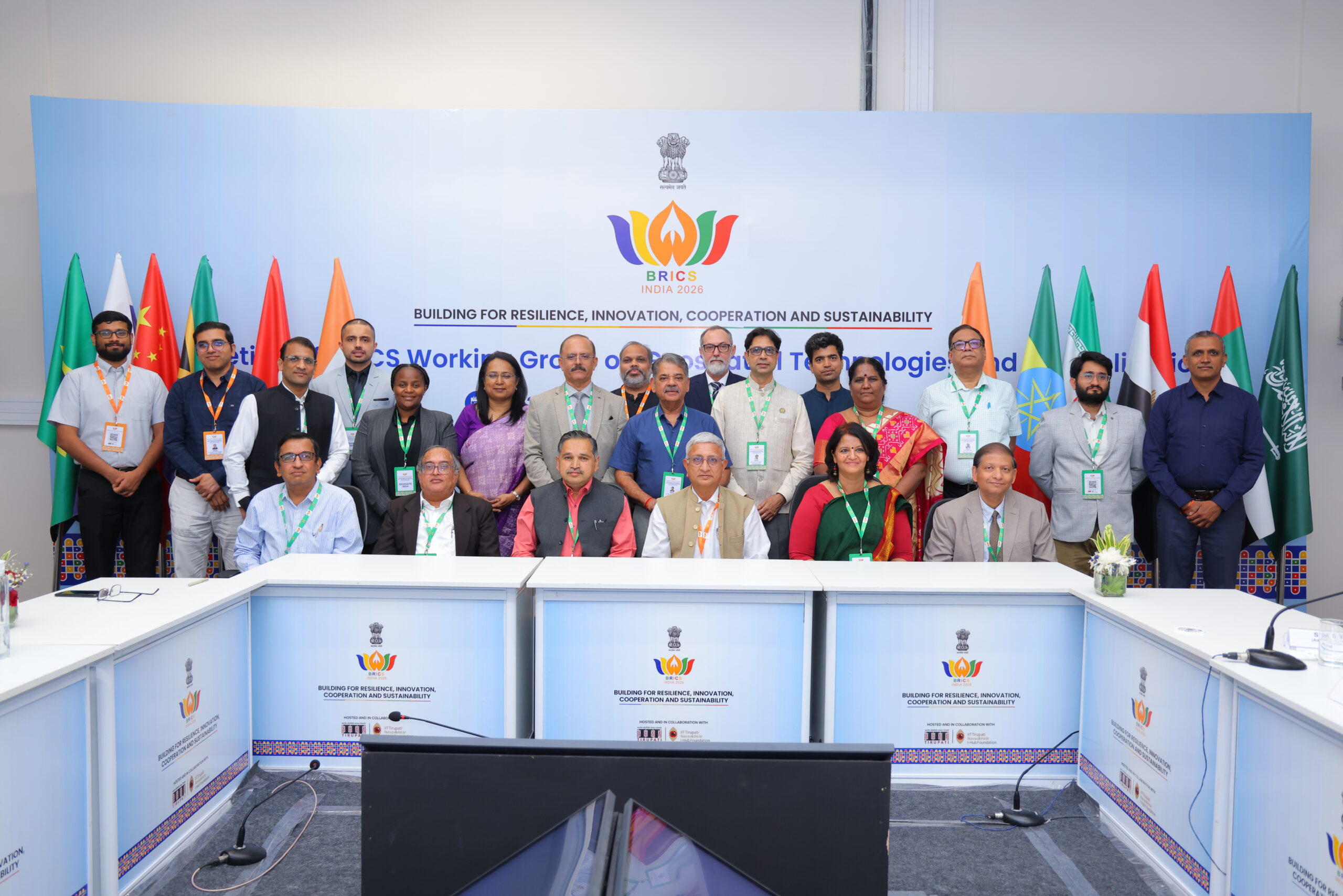
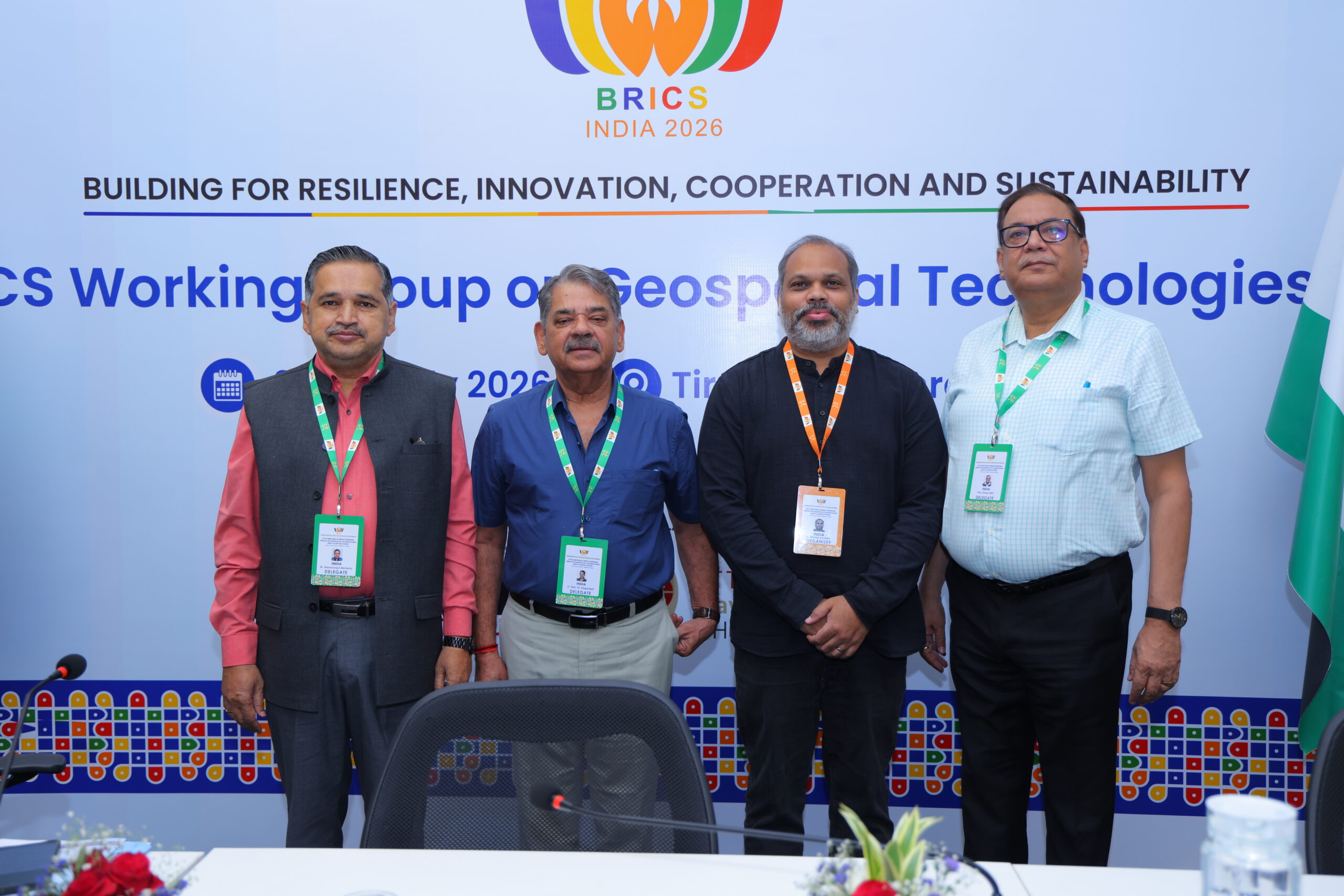
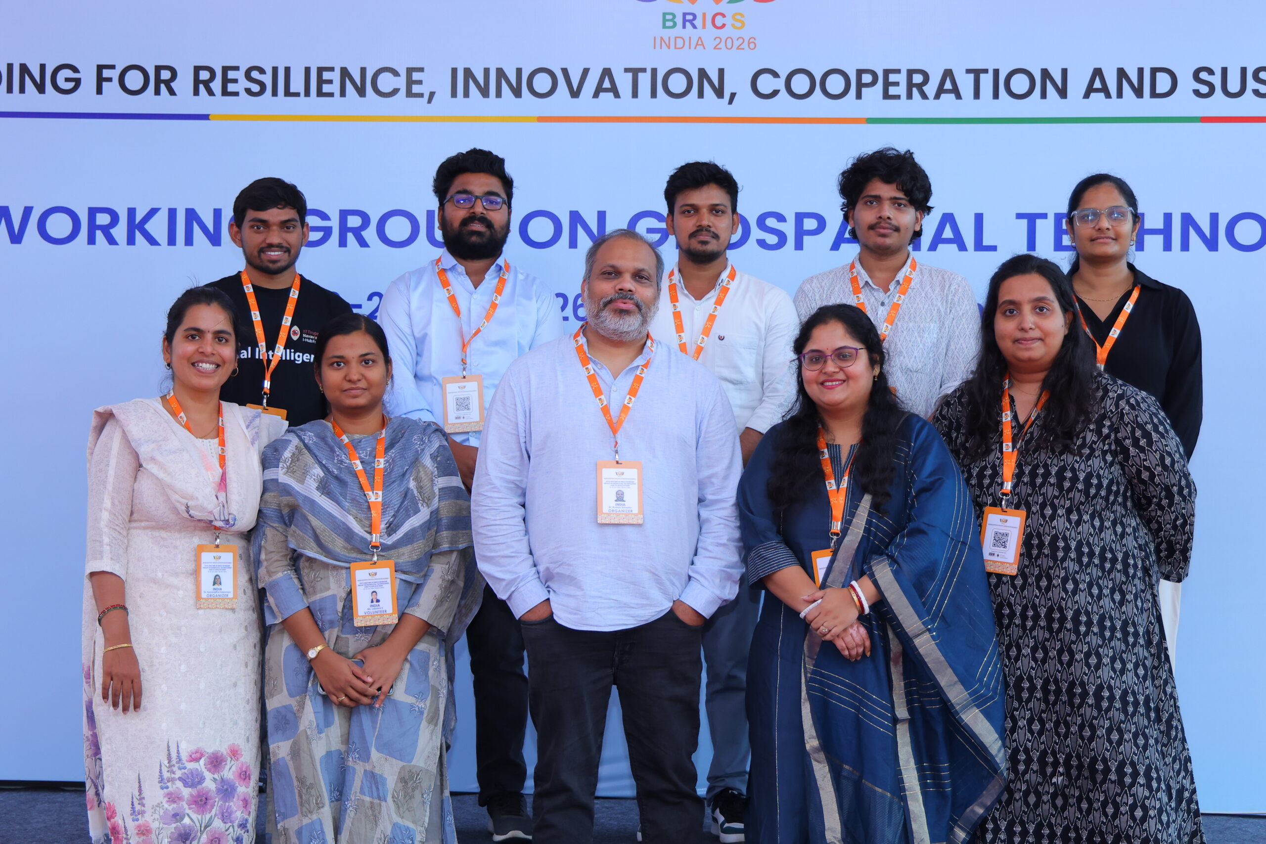
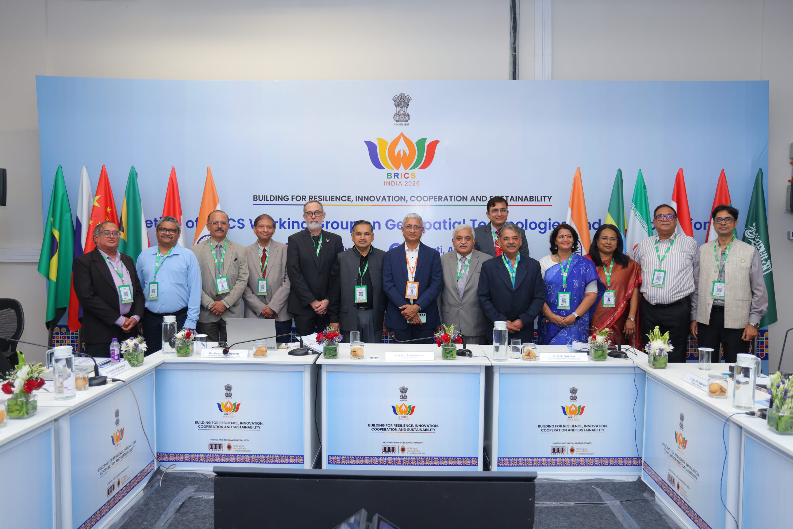
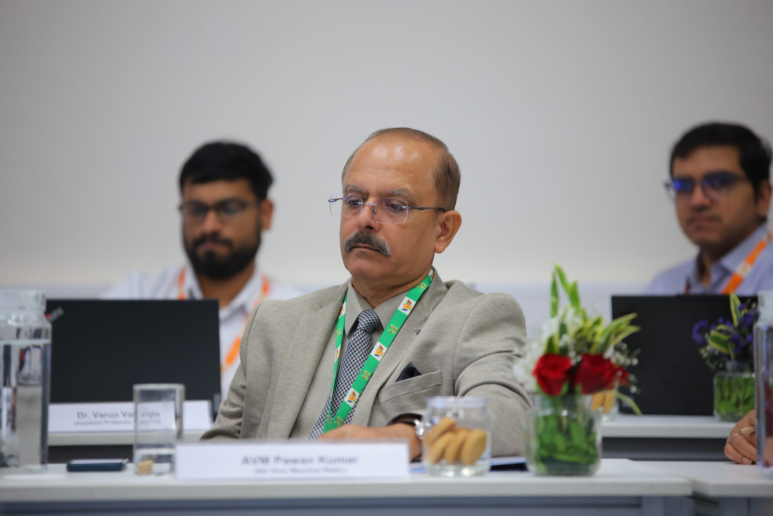
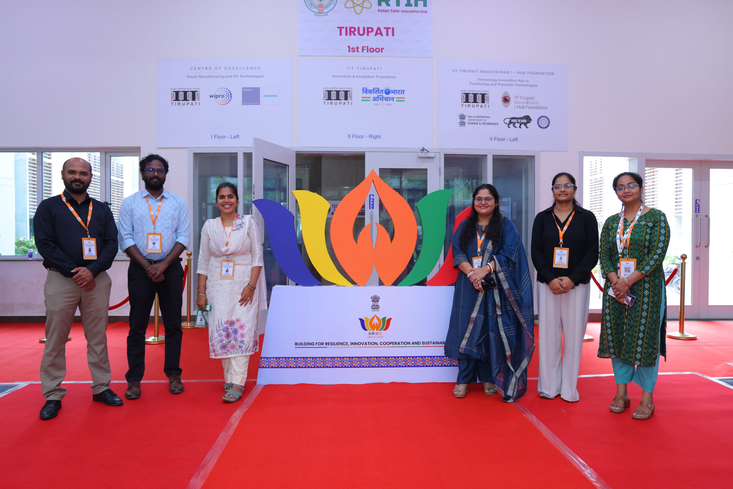
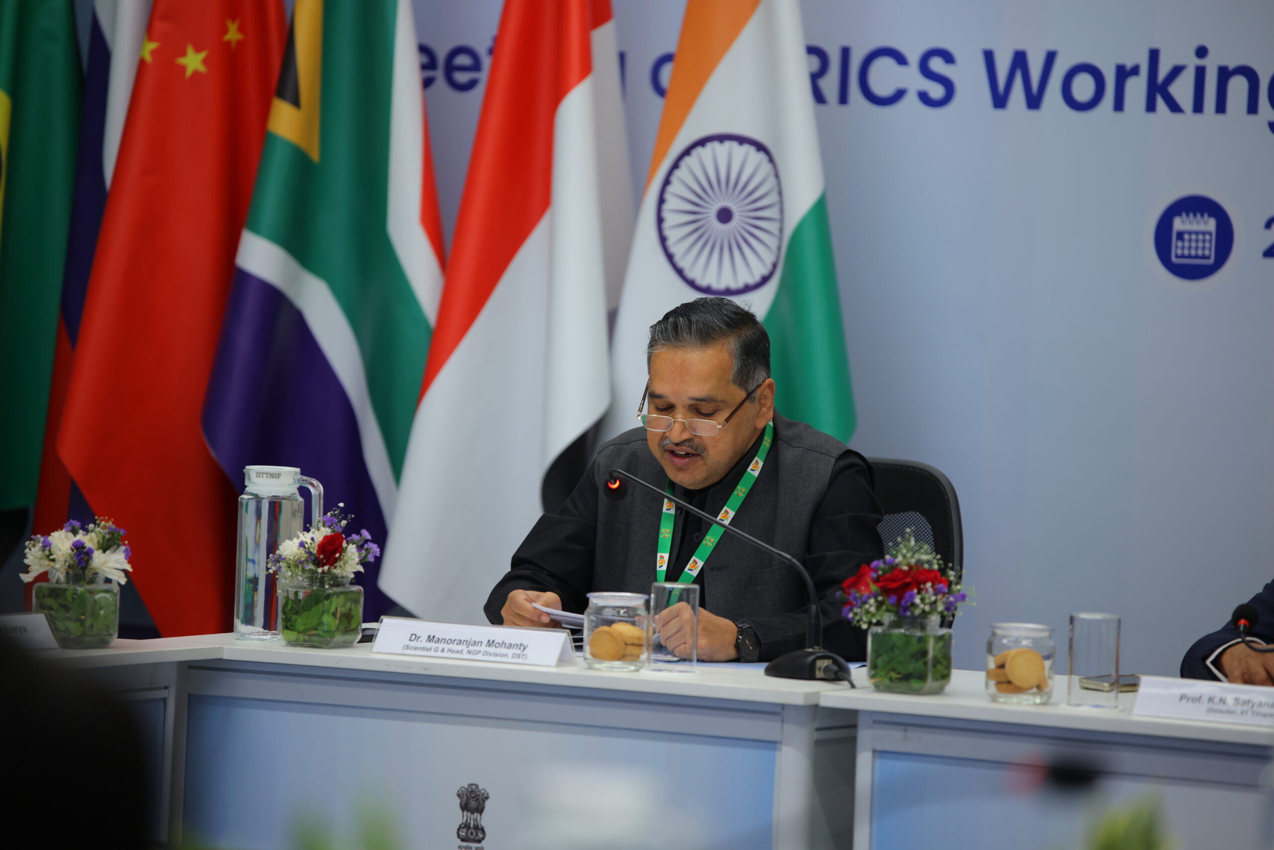
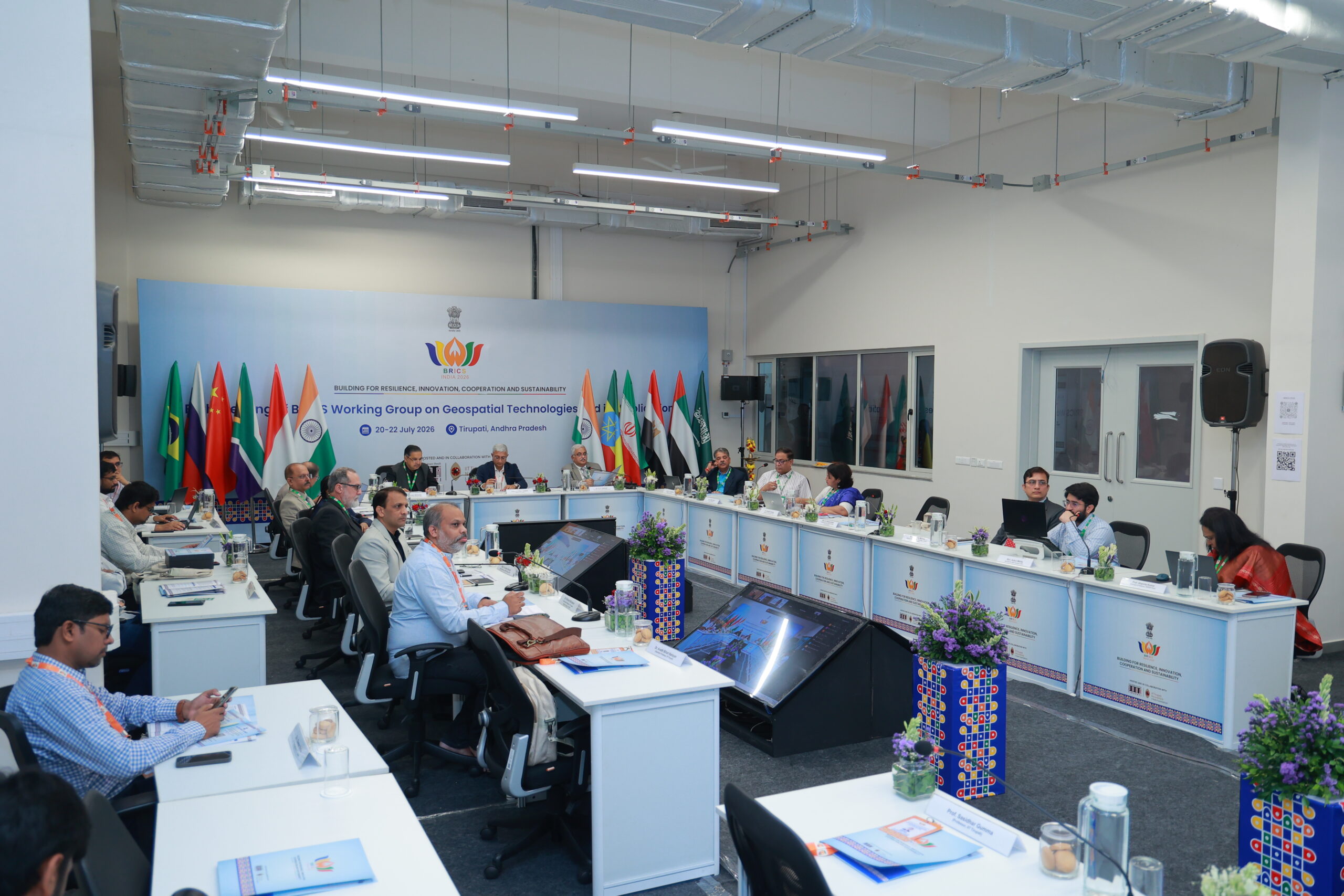
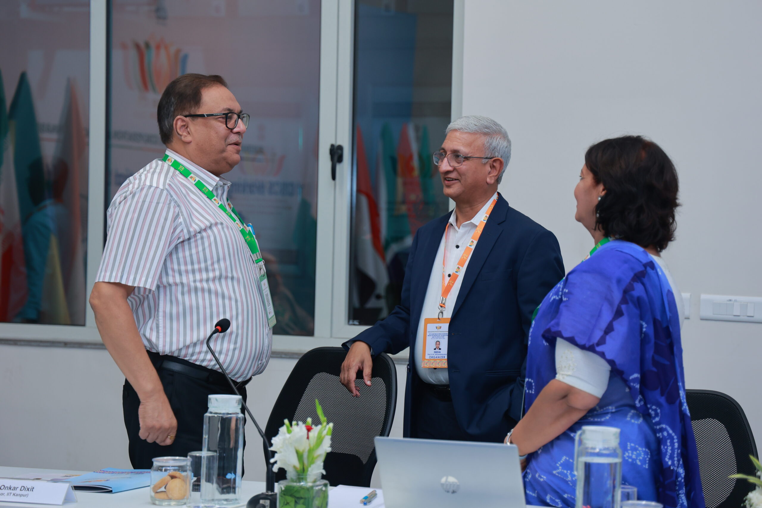
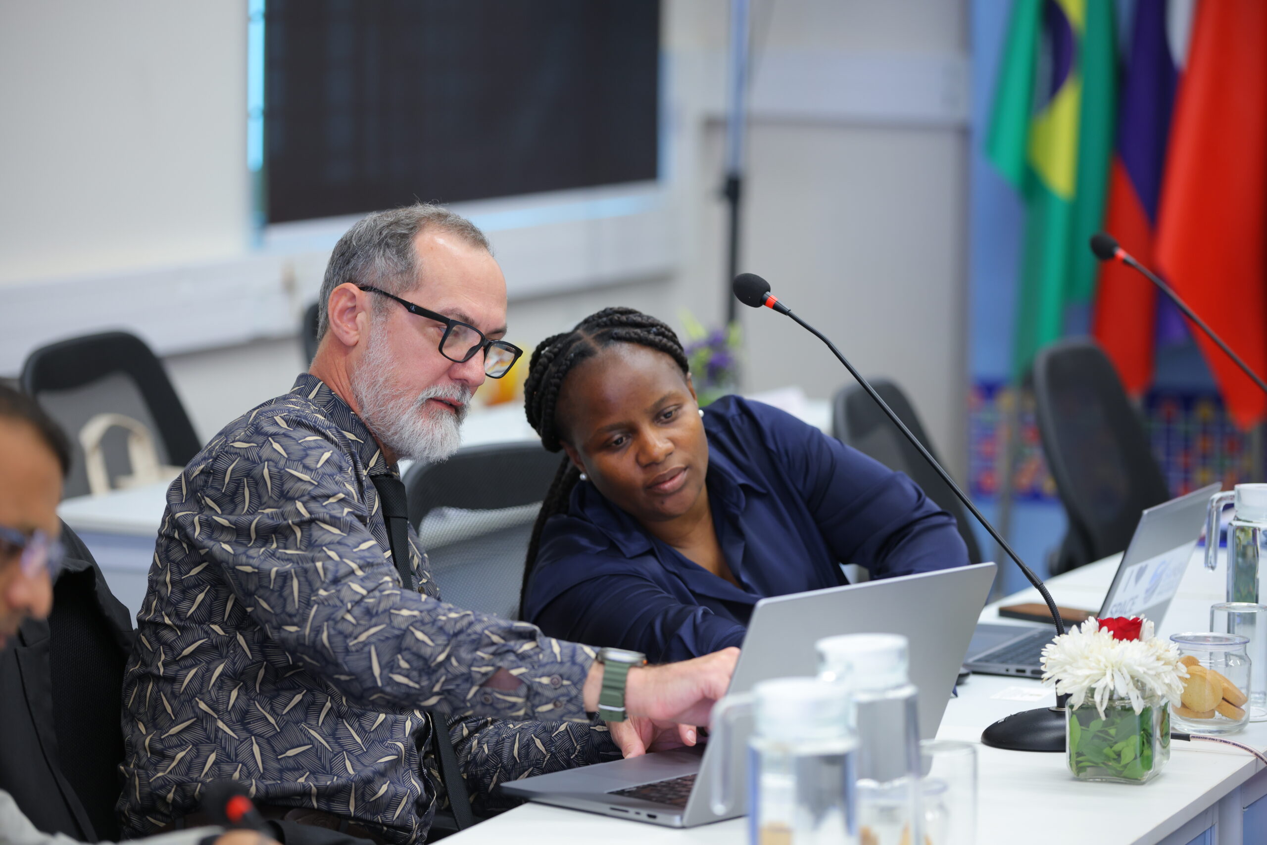
The 5th BRICS Working Group Meeting on Geospatial Technologies brought together experts, researchers, government representatives, academic institutions, industry professionals, and international delegates to discuss the role of geospatial technologies in strengthening cooperation, innovation, resilience, and sustainable development among BRICS nations.
The meeting focused on advancing collaboration in geospatial science and technology and explored the development of foundational geospatial infrastructure for BRICS cooperation.
Organised by:
Department of Science and Technology (DST), Government of India
In Partnership With:
Indian Institute of Technology Tirupati (IIT Tirupati) and
IIT Tirupati Navavishkar I-Hub Foundation (IITNiF) / Technology Innovation Hub
Event:
5th BRICS Working Group Meeting on Geospatial Technologies
Theme:
“Building for Resilience, Innovation, Cooperation and Sustainability”
Focus Area:
“Advancing Foundational Geospatial Infrastructure for BRICS Cooperation”
Mode:
Hybrid – Physical and Virtual Participation
The meeting provided a platform for national and international experts to exchange knowledge, share technological advancements, and identify opportunities for greater cooperation in the field of geospatial technologies.
Discussions highlighted how geospatial information, satellite technologies, remote sensing, Geographic Information Systems (GIS), and emerging digital technologies can contribute to addressing complex challenges related to disaster management, agriculture, urban development, environmental monitoring, infrastructure planning, and digital transformation.
The event also emphasized the importance of building robust and interoperable geospatial infrastructure to support data-driven decision-making and strengthen collaboration among BRICS countries.