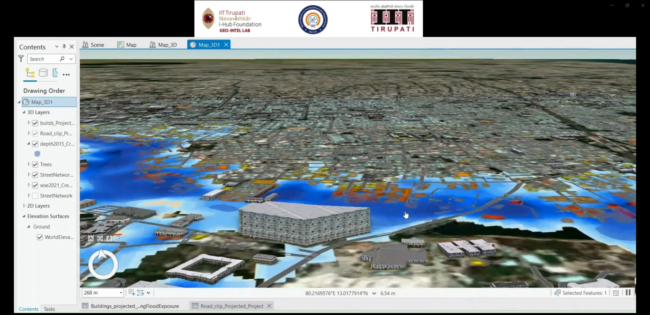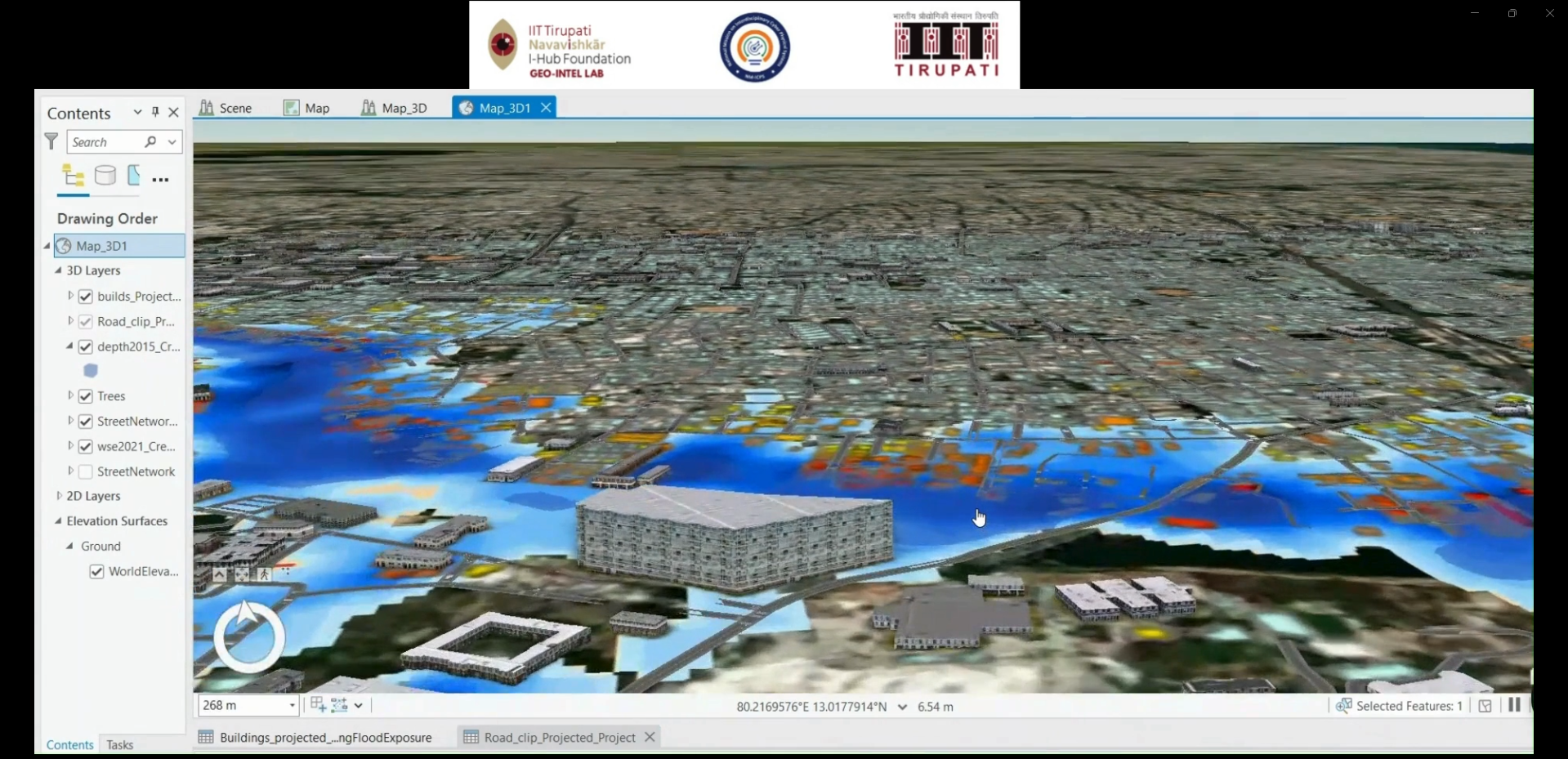
3D Digital Twin

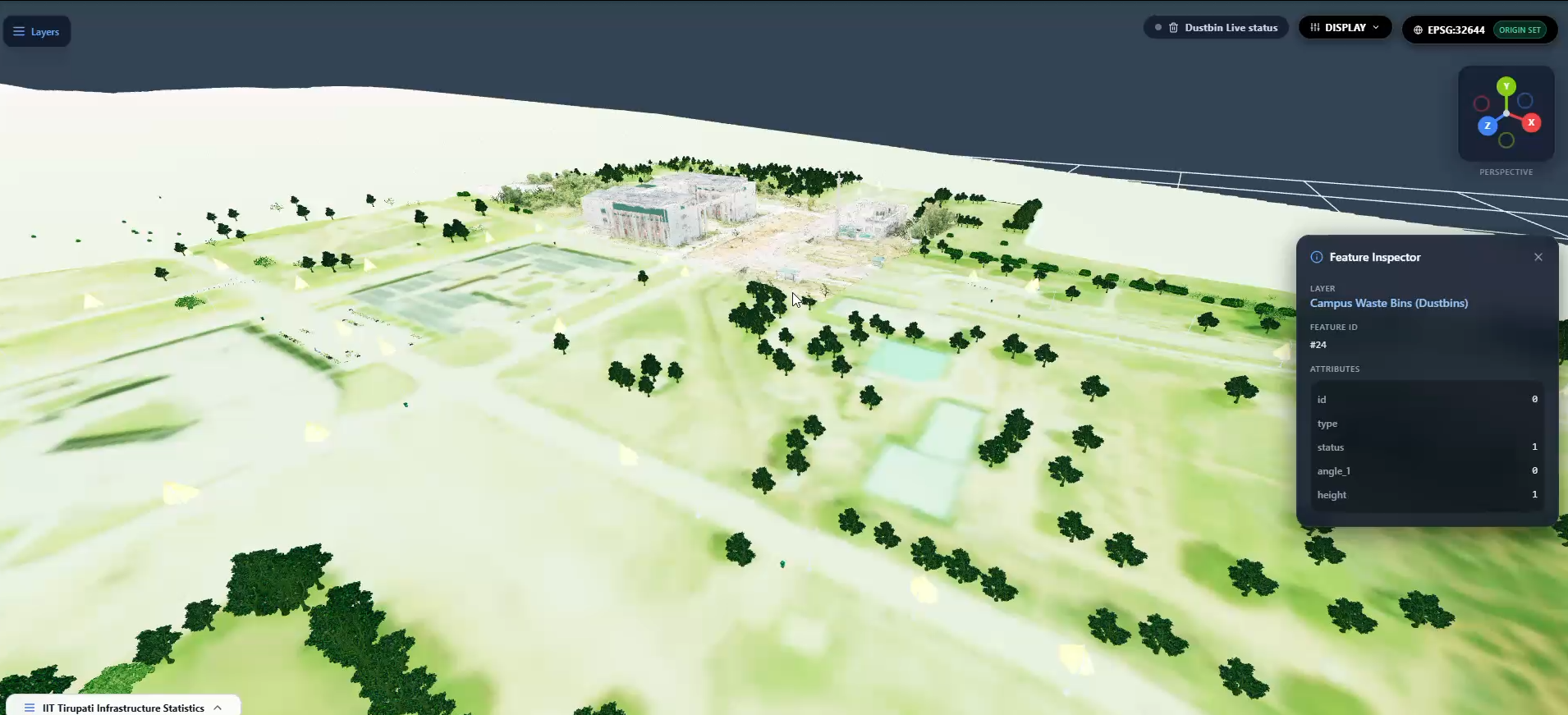
 Summary: Integrates LiDAR data, 3D models, and GIS asset layers to create a digital representation of real-world infrastructure for visualization, monitoring, and spatial analysis. Detailed Description: The project focuses on developing a 3D digital twin of infrastructure by integrating terrestrial LiDAR point clouds, 3D mesh models, and GIS datasets. The workflow includes point cloud cleaning…

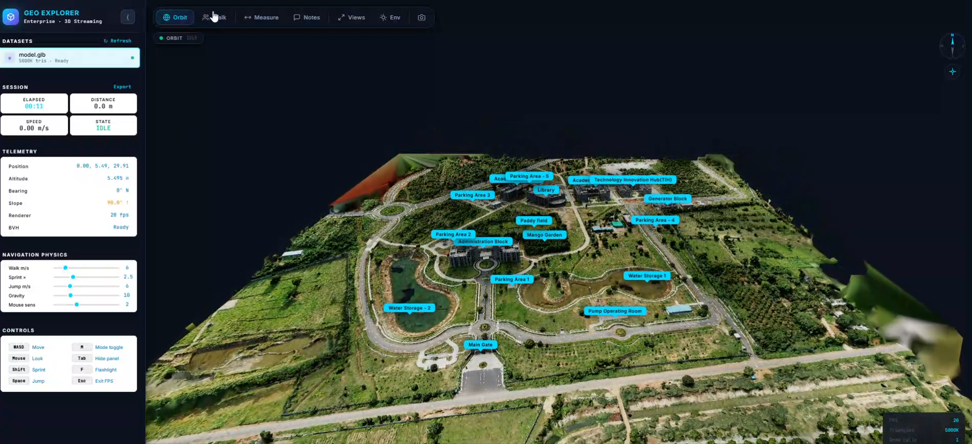
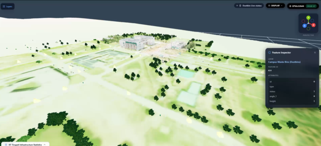
Geo Explorer – GIS-Based 3D Digital Twin Visualization

 Summary: Developed a geospatial visualization platform integrating 3D mesh models and GIS assets to explore and visualize real-world infrastructure in an interactive digital environment. Detailed Description: Geo Explorer focuses on visualizing real-world infrastructure through an interactive 3D digital environment. The project integrates processed LiDAR point clouds, 3D mesh models, and GIS asset data to represent…

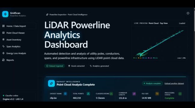
LiDAR-Based Powerline Sag Analysis

Summary: Analyzed powerline geometry and conductor sag using LiDAR data to assess wire curvature, ground clearance, and potential electrical safety risks. Detailed Description: This project focuses on analyzing overhead power transmission lines using LiDAR point cloud data and geospatial processing techniques. The workflow involves identifying and analyzing powerline conductors, extracting their spatial coordinates, and assessing…

 Predictive Digital Twin

 Integrates GIS, 3D digital twin technology, and predictive analytics to visualize infrastructure assets and support data-driven planning and decision-making. Detailed Description: The project focuses on developing a digital representation of real-world infrastructure by integrating geospatial data, 3D models, and spatial information. It aims to support infrastructure visualization, condition monitoring, scenario analysis, and predictive planning through…

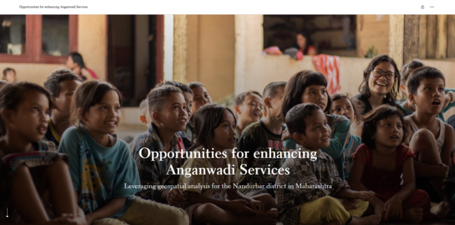
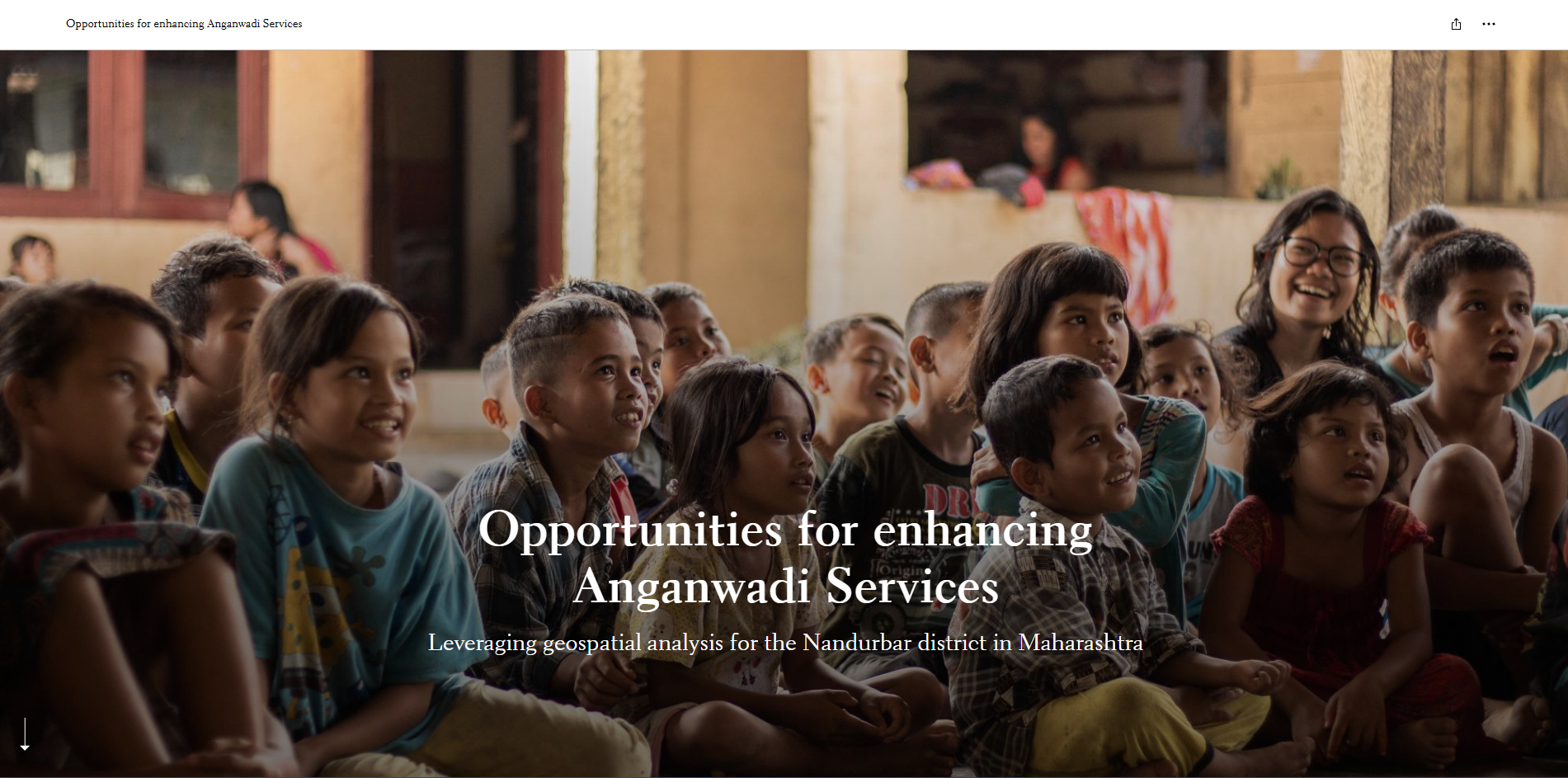
GIS-Based Assessment and Enhancement of Anganwadi Services

Summary:  Utilized GIS mapping and spatial analysis to assess Anganwadi service accessibility and identify opportunities for improving service delivery. Detailed Description:  This project uses Geographic Information System (GIS) technology and spatial analysis to understand the distribution, accessibility, and coverage of Anganwadi centres. The project supports the identification of service gaps, assessment of spatial patterns, and…