SPINGeoLLM
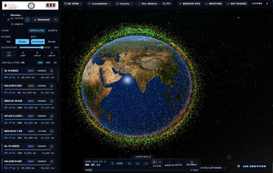
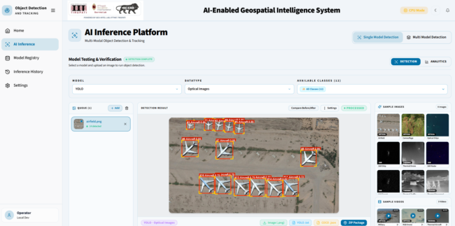
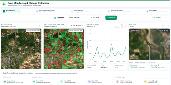
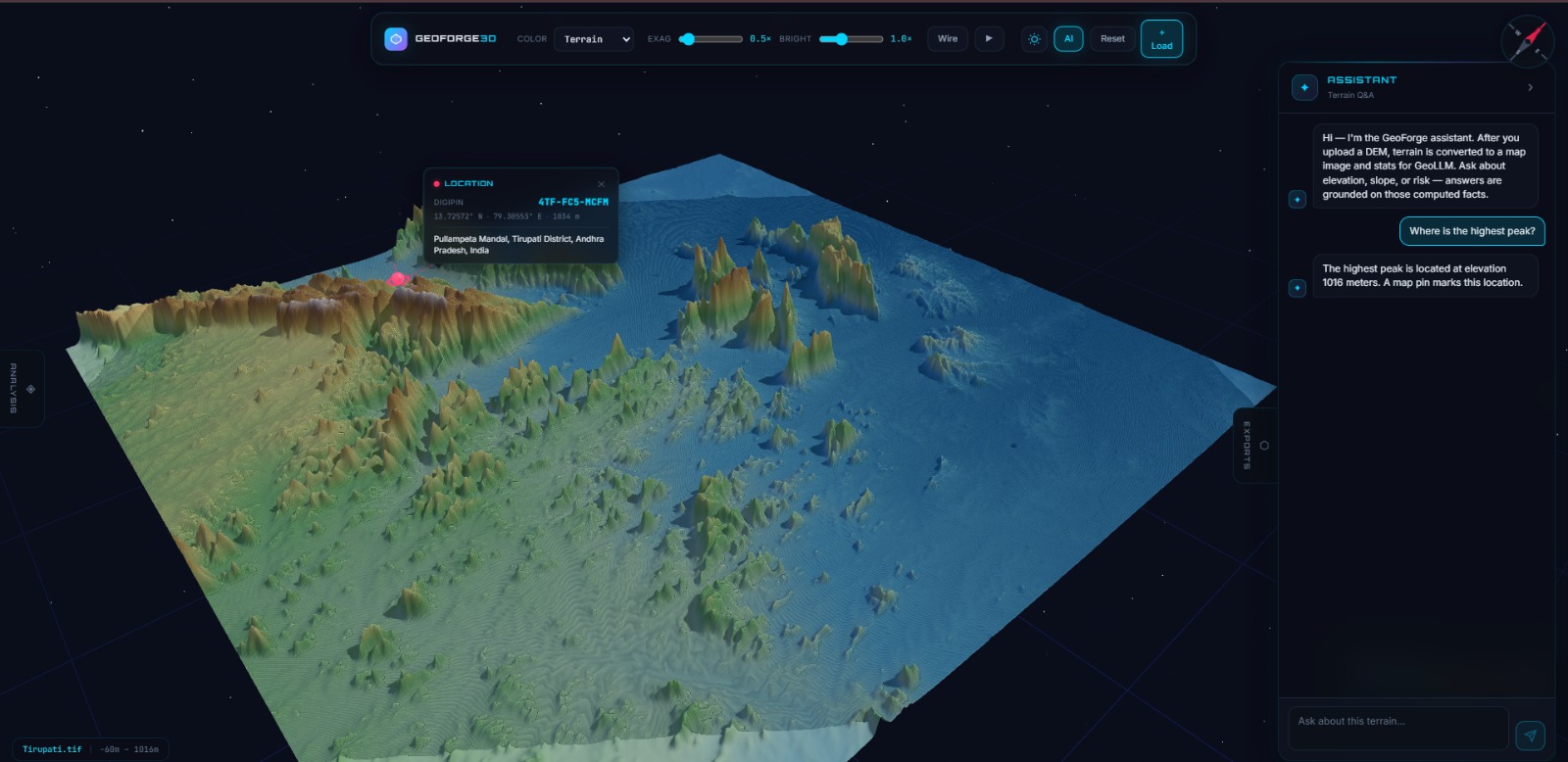
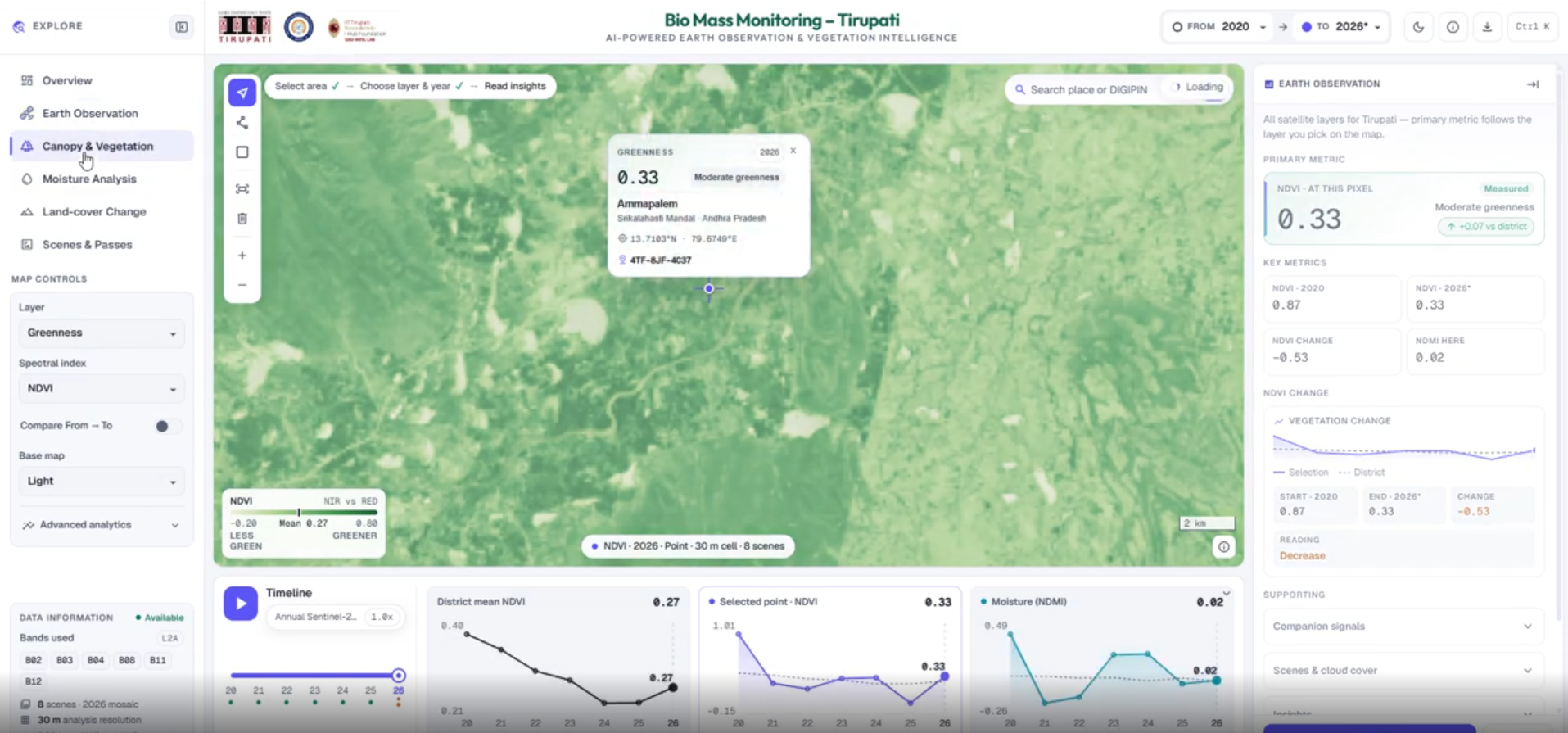
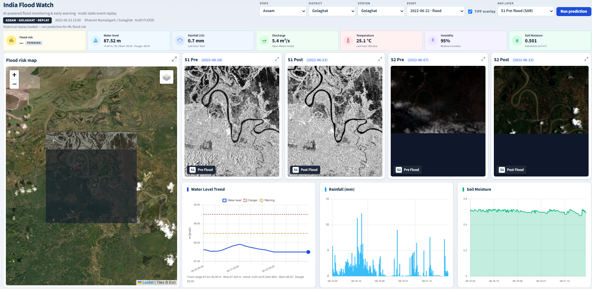
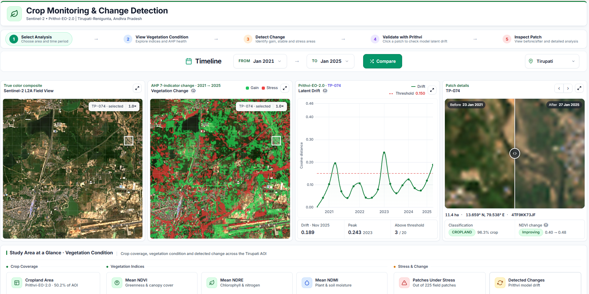
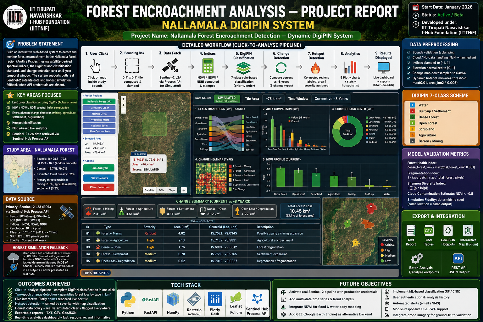
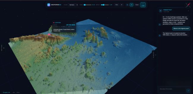
Project Overview –GeoLLM.jpeg A browser-based geospatial intelligence platform that combines interactive 3D terrain visualization, DEM-based geospatial processing, Earth Observation foundation models, deep learning-based terrain segmentation and Large Language Models (LLMs). The platform enables users to upload and explore DEM data, visualize terrain in 3D, perform terrain analysis, classify terrain characteristics using the Prithvi-EO-2.0 foundation model…